

After a dry start to the day, we'll start to see a few hit and miss showers and storms pop up north of I-80 in the afternoon. Omaha likely stays dry for the evening commute with highs in the upper 80s. The humidity will make it feel more like 94.
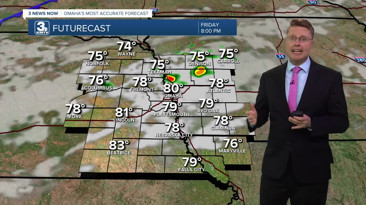
The hit and miss storms will slide south towards I-80 closer to 7 this evening, give or take an hour, but then they fade away as they push farther south. Once the cold front arrives after 10 tonight, a second wave of storms is expected to form. The best chance for seeing these storms will be south of I-80. They continue there overnight, but we will dry out by Saturday morning.
While only about half of eastern Nebraska and western Iowa will see rain Friday, the storms will come with a small severe weather threat. If we see a severe storm or two develop, damaging wind and a couple pockets of hail will be the main concern.
Behind the cold front, much cooler and less humid weather will move in for the weekend. Saturday will be mostly sunny with highs near 80.
Sunday brings a few more clouds with mid 70s.
Thanks to the lower humidity early next week, our mornings will be able to cool off into the 50s in Omaha! Neighborhoods farther north and into southwest Iowa could even wake up to 40s.
Monday will be mostly sunny with low 70s, followed by mid 70s on Tuesday.
We warm back up into the upper 70s Wednesday with mostly sunny skies.
There will be a few more clouds Thursday with a small chance for rain, but highs stay in the upper 70s.
FRIDAY
Partly Cloudy
Scattered P.M. Storms
High: 88
FRIDAY NIGHT
Mostly Cloudy
Spotty Storms
Low: 65
SATURDAY
Mostly Sunny
Lower Humidity
High: 80
SUNDAY
Partly Cloudy
Likely Dry
High: 75
Share your weather pictures with KMTV:
- Email to News@3newsnow.com
- 3 News Now Facebook page
- Use the hashtag #3NewsNow on Instagram or X (formerly Twitter)
