

3 THINGS TO KNOW
- Chilly night with some patchy frost
- Warm weather with some fire risk
- Storms return Thursday
FORECAST
Thanks to our strong cold front yesterday, temperatures have been cooler today with highs in the 50s. We do have enough energy for a sprinkle or two west of Omaha, but most of us will be dry. The wind will also last through the night, but it slowly relaxes.
The main story tonight will be the temperatures. Most of the area will drop into the mid-30s, approaching frost territory. However, the overnight wind & borderline temps may keep many of us frost-free. However, some patchy spots are still possible over northeast Nebraska or in some neighborhoods that get colder than others.
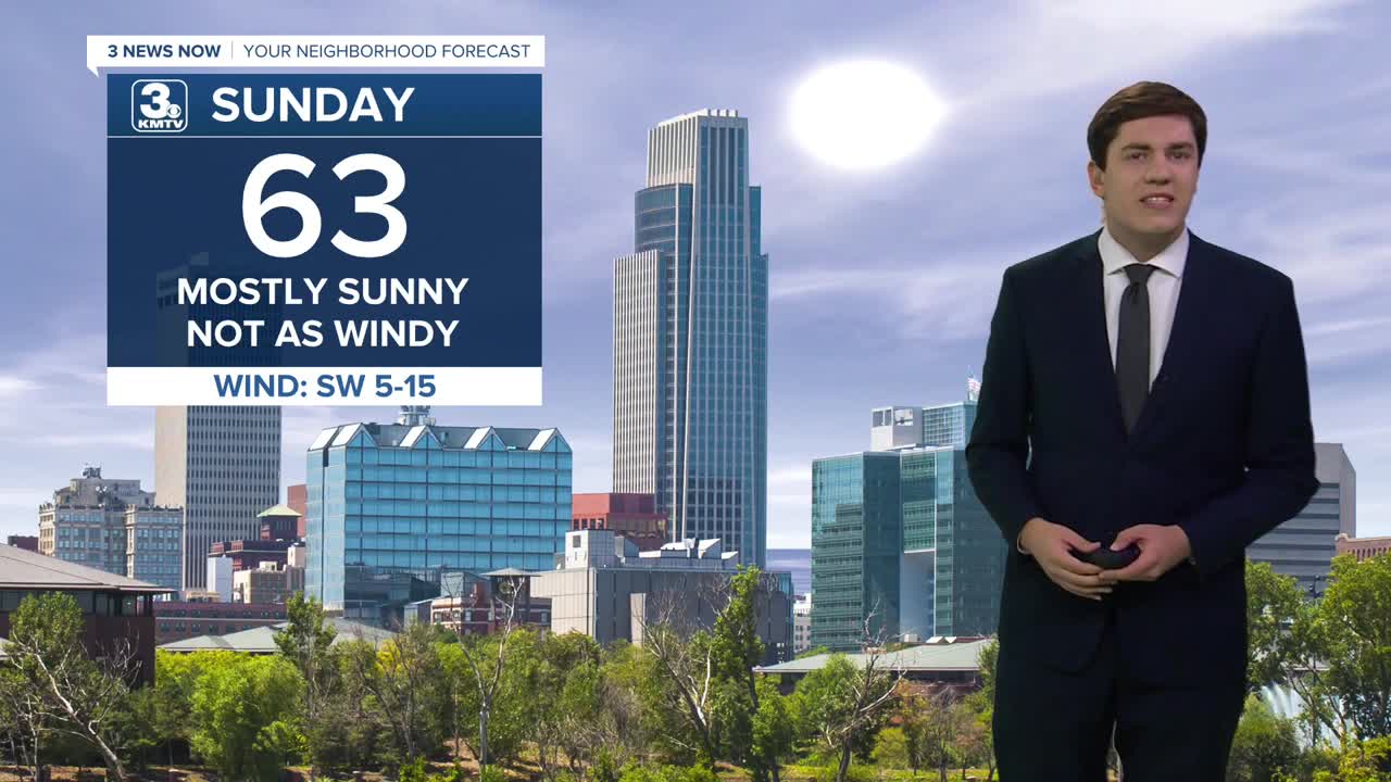
With the sun on Sunday, temperatures will begin to climb back up, but we are still on the cool side of things in the low 60s. The wind lessens, too.
We get warmer on Monday, with highs in the upper 70s, aided by the return of southerly winds (20-30 mph). The combination of wind, warmth, and dry conditions will create some fire danger. Avoid any outdoor burning.
Tuesday, we jump another 10 degrees, into the upper 80s. The wind is lower, and thus the fire risk is a bit lower too.
The fire weather risk returns on Wednesday as the wind returns (30-40 mph), temperatures hold in the upper 80s, but some humidity will begin to return to the area too.
Our next cold front arrives on Thursday, bringing a chance of storms. Depending on the ingredients, severe weather is possible, but it's too early for any specifics.
The cold front knocks back our temperatures for Friday into the weekend, with highs in the low 60s and lows in the 30s.
SATURDAY NIGHT
Mostly Clear
Cold
Low: 35
Wind: N 5-10
SUNDAY
Mostly Sunny
Not as Windy
High: 63
Wind: SW 5-15
MONDAY
Mostly Sunny
Warm & Breezy
High: 78
Wind: SE 20-30
TUESDAY
Mostly Sunny
Very Warm
High: 87
Wind: SW 5-15
Share your weather pictures with KMTV:
- Email to News@3newsnow.com
- 3 News Now Facebook page
- Use the hashtag #3NewsNow on Instagram or X (formerly Twitter)
