

3 THINGS TO KNOW:
- High winds today
- Above Average this weekend
- Even warmer for the holiday week
FORECAST:
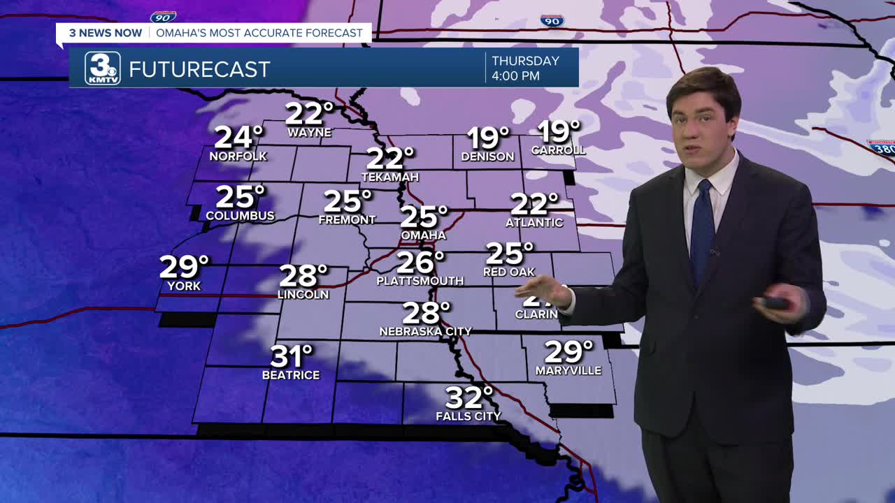
It is a "falling high" day, with temps dropping through the afternoon (upper 20s). We bottom out overnight in the 10s.
Thursday will also bring some high winds, likely 50-60 mph, for many. Spotty power outages or tree damage are possible. Take caution during the evening commute, particularly for high-profile vehicles along the highways. Also, tie down or bring in any holiday decorations you don't want blowing away!
Friday is less blustery, and the afternoon is a little warmer with a mix of clouds and sun, and highs in the mid-40s.
The mild air continues into the weekend with highs in the 40s, even on the first official day of winter, which is Sunday.
It's mild and dry into the holiday week with highs in the low 50s. This is expected to last at least through the Christmas holiday.
Omaha's chances of a white Christmas, given the current forecast, are practically zero. In fact, we have a better chance at breaking the record high (57) than seeing any snow!
THURSDAY
Partly Cloudy
High Winds
PM Temp: 29
Wind: NW 35-55
THURSDAY NIGHT
Mostly Clear
Cold
Low: 14
Wind: NW 10-20
FRIDAY
Mostly Sunny
Warmer
Breezy
High: 44
Wind: S 15-30
SATURDAY
Partly Sunny
Above Average
High: 45
Wind: S 5-20
Share your weather pictures with KMTV:
- Email to News@3newsnow.com
- 3 News Now Facebook page
- Use the hashtag #3NewsNow on Instagram or X (formerly Twitter)
