

Spotty showers and starting to move into northeast Nebraska as of the lunch hour, and they will slowly expand farther southeast through the afternoon. Neighborhoods that see rain may only make it into the upper 60s. Omaha likely stays dry long enough to hit the mid 70s along with cities farther south and east.
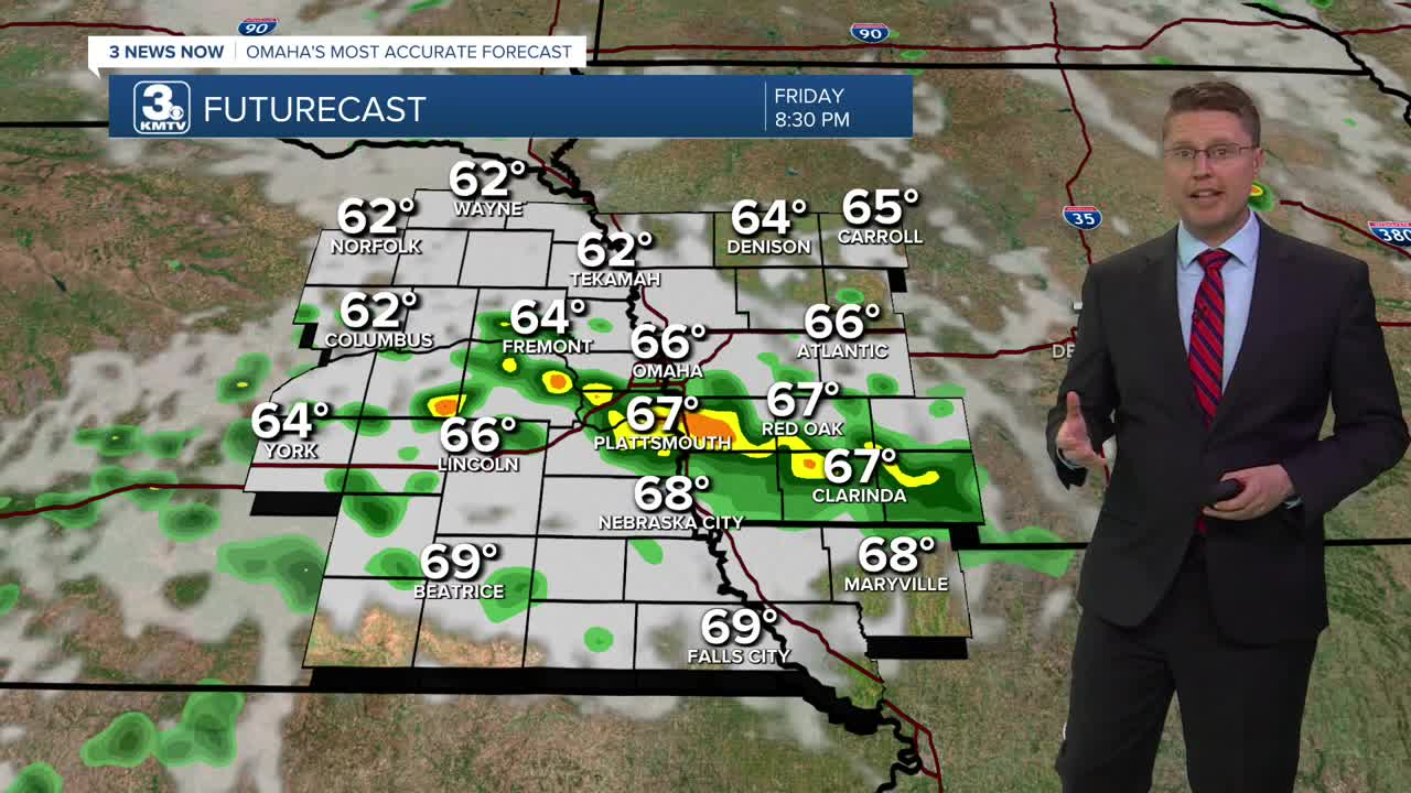
The scattered rain and storms could reach the metro before the evening commute. While anyone could get hit by a shower or storm during high school football games, many of them will also stay dry. Games will start in the upper 60s and cool off into the mid 60s for the second half.
Scattered rain will continue across the region overnight, and a few leftover showers could still be around Saturday morning. Any rain should end by noon, then we'll see some sunshine come out for the afternoon. Highs will be in the upper 70s.
Sunday is the last full day of summer! It will be a little warmer with low 80s and a mix of sun and clouds. Late in the day, a few scattered showers and storms will move in, but a number of spots will stay dry.
A couple showers could survive into Monday morning, but there will be plenty of dry time in the middle part of the day. Highs should be near 80 again. A cold front arrives late in the day with a better chance for more rain and storms.
Some of the rain will continue into Tuesday. Cooler air will blow in behind the cold front, dropping us into the mid 70s for the afternoon.
We stay comfortable Wednesday with mid 70s, but it will be mostly cloudy with a small chance for rain.
Thursday brings more sunshine with mid 70s.
FRIDAY
Partly Cloudy
Spotty P.M. Storms
High: 74
FRIDAY NIGHT
Mostly Cloudy
Scattered Showers
Low: 59
SATURDAY
Partly Cloudy
Spotty A.M. Rain
High: 77
SUNDAY
Partly Cloudy
Scattered Storms Late
High: 81
Share your weather pictures with KMTV:
- Email to News@3newsnow.com
- 3 News Now Facebook page
- Use the hashtag #3NewsNow on Instagram or X (formerly Twitter)
