



3 Things to Know
- Peak of the heat comes Monday
- The cool-down hits early next week
- Increasing chance of rain midweek
Forecast
After several days of very hot & humid weather for Omaha, we are rushing toward its apex over the next couple days. Temperatures this evening will be in the 90s, and will sink into the 70s overnight. A few showers & storms are possible this afternoon along a weak front, but these will be isolated in nature.
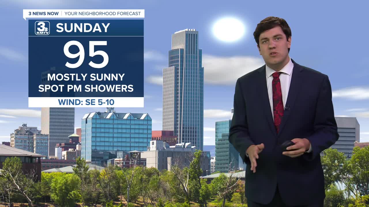
Sunday is another hot day as temperatures reach the mid-90s. Like the last several days, a few afternoon showers & storms are possible, but most of us will be dry.
Monday is the climax of the heat as Omaha looks to reach the first 100-degree day of the season. With the humdity, heat indicies could be as high as 105-110. Follow the heat safety precautions if you have to be outdoors.
By Monday afternoon, a cold front arrives in our area. This front will spark some strong/severe storms over Iowa, but we might not have enough forcing for thunderstorms in eastern Nebraska/western Iowa. Therefore, any storms should remain isolated at best. However, if one can form, it may be severe with some damaging wind.
The front will bring in some relatively cooler weather for Tuesday; highs dip into the upper 80s, and the humidity lowers too.
We are in the mid-80s on Wednesday as another storm system approaches. This may spark some afternoon rain in the area, but a lot of us will be dry.
A better chance for rain & storms comes Thursday as highs hold in the low 80s.
The rain chances begin to move away by Friday as temperatures begin to climb. We are back in the 90s by next weekend.
SUNDAY
Mostly Sunny
Warm & Humid
High: 95
Wind: S 5-10
SUNDAY NIGHT
Clear
Warm
Low: 75
Wind: SE 5-10
MONDAY
Mostly Sunny
Very Hot
High: 101
Wind: SW 5-10
TUESDAY
Mostly Sunny
A Bit Cooler
High: 89
Wind: N 10-20
Share your weather pictures with KMTV:
- Email to News@3newsnow.com
- 3 News Now Facebook page
- Use the hashtag #3NewsNow on Instagram or X (formerly Twitter)
