

Cooler air and lower humidity will continue to pour into the region this evening. Temperatures will be cooling in the upper 50s to low 60s by Thursday morning. A few storms are possible tonight, mainly south of Omaha, nearby the Nebraska/Kansas border.
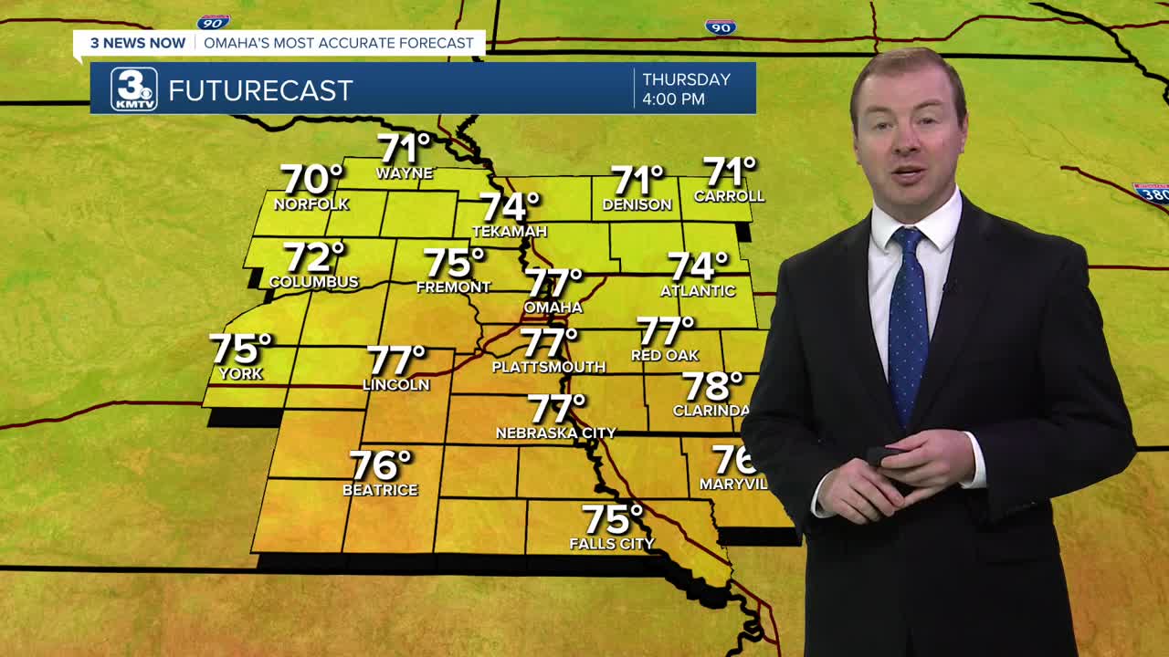
Thursday looks like a very comfortable day thanks to the lower humidity and highs only in the upper 70s with partly cloudy skies. This will be about 10 degrees cooler than average! Since 1950, we average about 4 days in July cooler than 80 degrees.
The humidity climbs higher again Friday, and we start to warm back up. We'll see some sunshine in the first half of the day, but clouds will be on the increase for the second half of the day with low 80s in the afternoon. Rain becomes more possible heading into Friday evening and Friday night.
Hit and miss storms may still be around Saturday morning, but there will be plenty of dry time mixed in. It will be partly cloudy and warmer with upper 80s.
Sunday appears to have the higher chance at rain over the weekend, so continue to have a backup indoor plan ready for your outdoor plans. It stays mostly cloudy with mid 80s.
More of us stay dry Monday, but some leftover rain could still be around in the morning. As drier weather begins to build in, we start to heat up. Highs will be in the low 90s with mostly sunny skies.
Tuesday and Wednesday brings more sunshine and more heat with mid 90s.
THURSDAY
Partly Cloudy
Lower Humidity
High: 77
THURSDAY NIGHT
Partly Cloudy
Cool, Lower Humidity
Low: 64
FRIDAY
Mostly Cloudy
P.M. Storms Possible
High: 83
SATURDAY
Partly Cloudy
Isolated Rain
High: 88
Share your weather pictures with KMTV:
- Email to News@3newsnow.com
- 3 News Now Facebook page
- Use the hashtag #3NewsNow on Instagram or X (formerly Twitter)
