

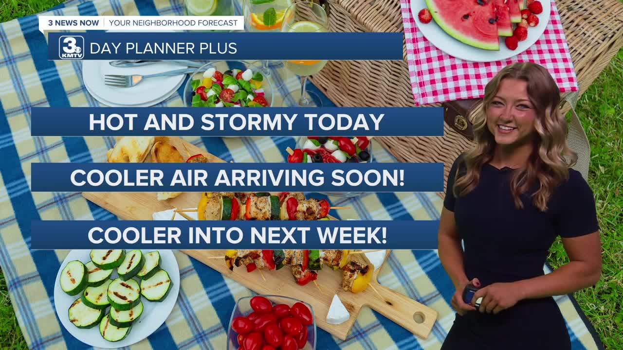


3 Things to Know
- Storms Tuesday afternoon/evening, could be strong
- Closer to average temps starting Wednesday
- Rain possible over the weekend
Forecast
Tuesday should be our last day this week in the 90s as a cold front approaches. Keep in mind, it could get hot with heat index values around 100-105. Along with the front, thunderstorms will develop later in the afternoon, generally after 2 PM.
A few of the afternoon to early evening storms may reach severe levels, with the main concern being 60+ MPH wind and pockets of large hail. The overall chance for severe weather is fairly low though.
These storms will bring more widespread rain later Tuesday night into areas especially south of I-80. Isolated areas with flash flooding would be the biggest concern with these storms Tuesday night, so it's a good idea to have ways to receive alerts! These storms may linger for the first half of the day Wednesday, but will clear out of the area by the afternoon.
Behind the front will be some much cooler air and lower humidity for the region. It may get a little breezy on Wednesday as the milder air moves in with highs only in the low 80s. We could dip into the upper 50s by Thursday morning!
Thursday looks like a very nice day with sunshine and highs in the low 80s, which is now around Omaha's average high for early September.
Friday could get pretty warm as another system moves into the region. Temps by the afternoon could get to near 90 degrees, and there may be more thunderstorms Friday evening and Friday night as another cold front moves through the region.
This weekend does have some rain possible. Saturday looks mostly dry, and partly cloudy with temps near 80. Some extra rain and storms can be expected on Sunday with highs in the upper 70s.
TUESDAY
Partly Cloudy
Hot with PM Storms
High: 92
Wind: SE 15-25
TUESDAY NIGHT
Cooler
Storms Overnight
Low: 69
Wind: SE 10-20
WEDNESDAY
Partly Cloudy
AM Rain, Breezy
High: 82
Wind: NW 10-20
Share your weather pictures with KMTV:
- Email to News@3newsnow.com
- 3 News Now Facebook page
- Use the hashtag #3NewsNow on Instagram or X (formerly Twitter)
