

3 Things to Know
- Very hot & humid Tuesday & Wednesday
- Midweek storms, some could be severe
- CWS Opening Day looks drier, less hot
Forecast
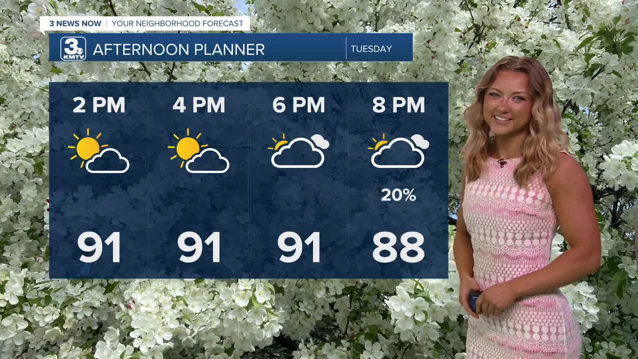
Dewpoint temps are already in the lower 70s, and they look like they want to stay there as we head into the afternoon. Because of this, it's going to feel super uncomfortable, with heat index values set for 105 this afternoon. We are under a heat advisory from 1PM to 9PM for our Tuesday.
A few Tuesday evening storms are possible, but as of now, most of us look to stay dry.
Eventually, a Wednesday evening cold front will bring heat relief and may also bring a few thunderstorms. The best locations to see this rain will be mainly in western Iowa. A few of these storms may become severe, too.
Some rain will likely linger around for Thursday morning, but the main thing is that the milder weather is back with highs in the low to mid-80s, and some returning sunshine by the afternoon.
By Friday, it's looking warm again for the opening day of the College World Series, but the humidity should be down a bit during the day. Highs will be in the upper 80s with mostly sunny skies.
This weekend will be warm and partly cloudy, and there is a chance for storms on both Saturday and Sunday.
TUESDAY
Partly Cloudy
Hot & Humid
High: 94
Wind: SE 10-25
TUESDAY NIGHT
Partly Cloudy
Very Warm
Low: 77
Wind: SE 5-10
WEDNESDAY
Partly Cloudy
Hot & Humid
Some Evening Storms
High: 96
Wind: SE 20-30
THURSDAY
Partly Cloudy
Morning Storms
High: 82
Wind: S 10-25
Share your weather pictures with KMTV:
- Email to News@3newsnow.com
- 3 News Now Facebook page
- Use the hashtag #3NewsNow on Instagram or X (formerly Twitter)
