

3 THINGS TO KNOW
- Warm Monday
- Rain & a few storms south of I-80 for Monday evening
- Cooler and dry midweek
FORECAST
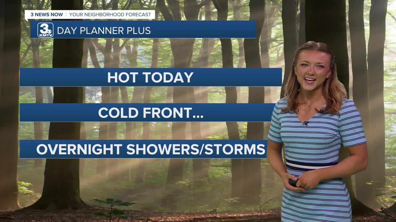
What a warm way to start the week! If you step outside right now, chances are you'll start sweating! Temps by this afternoon will reach the lower 80s, with some pleasant partly cloudy skies!
A cold front moves through Monday afternoon, bringing a chance of rain and a few storms along and south of I-80. No severe weather is expected, and any rain amounts should be light. Some of this rain could linger into Tuesday morning south of I-80.
As the front moves through, colder air will move back into the region, leaving Omaha cloudy and in the 50s and 60s for Tuesday and Wednesday. The coldest night will be Wednesday night, when temps dip into the upper 30s again, but we should be warm enough to prevent any frost from developing.
By the end of the week, temps will be back in the 60s and 70s. Our weekend temps look to be back near or even above average by a couple of degrees! While there is a chance for rain over the weekend, we'll have better details as that time gets closer!
MONDAY
Mostly Sunny
PM Rain Chance
High: 83
Wind: S 10-25
MONDAY NIGHT
Mostly Cloudy
Rain Chance South
Low: 48
Wind: SW 5-10
TUESDAY
Cloudy
Dry
High: 61
Wind: N 5-15
WEDNESDAY
Cloudy
Below Average
High: 60
Wind: NE 5-10
Share your weather pictures with KMTV:
- Email to News@3newsnow.com
- 3 News Now Facebook page
- Use the hashtag #3NewsNow on Instagram or X (formerly Twitter)
