



3 Things to Know
- Starting the workweek hot
- Wet Tuesday & Wednesday
- Warmer again by the weekend
Forecast
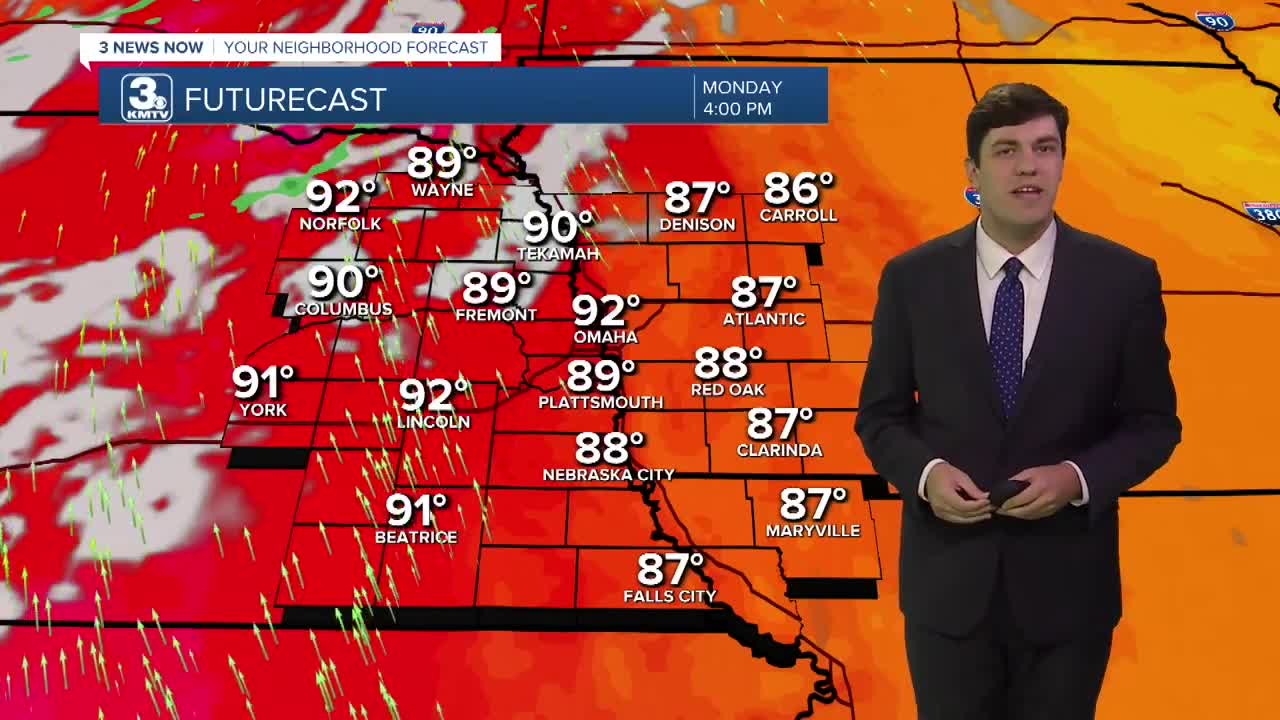
We start off the workweek hot with highs in the low 90s on Monday with lots of sunshine. This will be achieved by a 20-30 mph wind from the south.
A cold front arrives Tuesday, bringing some rain showers. It won't rain all day, however. Highs on Tuesday are a bit cooler, down into the low 80s.
Widespread rain & storms arrive on Wednesday morning, and last into the afternoon. The severe weather risk looks low at this time. However, these storms may produce heavy rain and, in turn, localized flooding. We are much cooler on Wednesday with highs in the low 70s.
The rain is gone by Thursday, and we jump about 10 degrees in the afternoon into the mid-80s.
We continue to warm up into Friday with highs reaching the upper 80s, then the 90s return by the weekend.
MONDAY
Mostly Sunny
Breezy
High: 92
Wind: SE 15-25
MONDAY NIGHT
Mostly Clear
Comfortable
Low: 67
Wind: N 5-10
TUESDAY
Mostly Cloudy
Scattered Rain
High: 81
Wind: SE 5-10
WEDNESDAY
Cloudy
Rain & Storms
High: 73
Wind: NE 5-10
Share your weather pictures with KMTV:
- Email to News@3newsnow.com
- 3 News Now Facebook page
- Use the hashtag #3NewsNow on Instagram or X (formerly Twitter)
