



3 Things to Know
- A wetter Monday morning for some
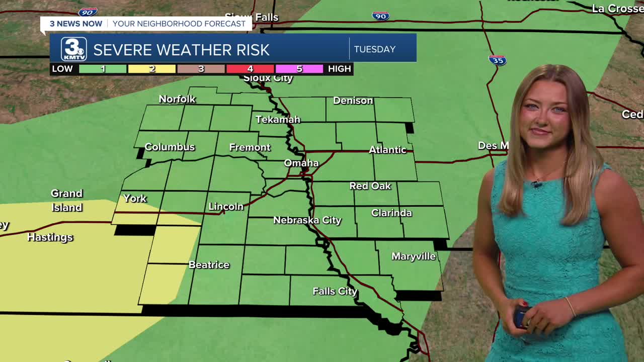
- Severe storms possible Tuesday
- Summertime temperatures
Forecast
Heading into our Monday afternoon, things will begin to dry up. Highs will only climb to the lower 80s, and we'll see a clearer sky overnight. Monday evening is a great day to take dinner outside, as it looks to be the coolest day of the week!
On Tuesday, temps will warm just a tad above average. Once we see 86 for that afternoon high, it looks like we'll stay there for the rest of the work week.
Tuesday also brings the potential for some severe storms. They'll push ahead of a front, just around those afternoon hours. Main concerns include larger pockets of hail and stronger winds.
Dry weather reigns on Wednesday and Thursday, with highs topping out right around 86.
By Friday, storm chances return to Nebraska and Iowa, and these may linger into the weekend. Temps will also be a little warmer, think the upper 80s, it could begin to feel like the mid 90s with added humidity.
MONDAY
Partly Cloudy
Morning Rain
High: 82
Wind: SE 5-10
MONDAY NIGHT
Partly Cloudy
Dry
Low: 68
Wind: SE 5-10
TUESDAY
Partly Cloudy
Some PM Storms
High: 86
Wind: SE 5-10
WEDNESDAY
Mostly Sunny
Dry & Warm
High: 86
Wind: SW 5-10
Share your weather pictures with KMTV:
- Email to News@3newsnow.com
- 3 News Now Facebook page
- Use the hashtag #3NewsNow on Instagram or X (formerly Twitter)
