

3 THINGS TO KNOW
- Spot storms for the next few days
- Temps to climb into the 80s
- Breezy most of the week
FORECAST
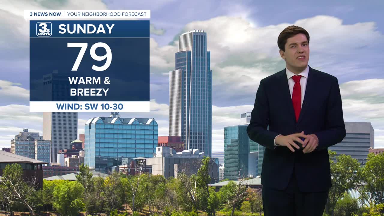
Sunday is trending to be a drier, breezy, and warmer day with highs in the upper 70s to near 80. A storm or two may pop up in the afternoon heat in Iowa, which could pose a severe weather risk if they form.
Monday starts the new workweek even warmer with sunshine and highs in the mid-80s. A storm may develop in the afternoon, which could carry a small severe risk.
Tuesday could be wet and stormy for some, but many look dry, as a cold front eventually moves through the region, and it could lead to a risk of severe weather, with highs in the upper 80s.
The rest of next week will be drier and warmer than average, in the 70s for next Wednesday, Thursday, and Friday.
We start to cool off by next weekend as another storm system approaches the area.
SUNDAY
Partly Sunny
Isolated Storms
High: 79
Wind: S 15-25
SUNDAY NIGHT
Mostly Clear
Warm
Low: 61
Wind: SE 5-10
MONDAY
Partly Sunny
Warm & Breezy
High: 86
Wind: S 10-25
TUESDAY
Partly Sunny
Isolated Storms
High: 88
Wind: S 10-25
Share your weather pictures with KMTV:
- Email to News@3newsnow.com
- 3 News Now Facebook page
- Use the hashtag #3NewsNow on Instagram or X (formerly Twitter)
