

3 THINGS TO KNOW:
- Near 50 on Tuesday & Wednesday
- Wednesday night rain chance
- 50-60mph winds possible Thursday
FORECAST:
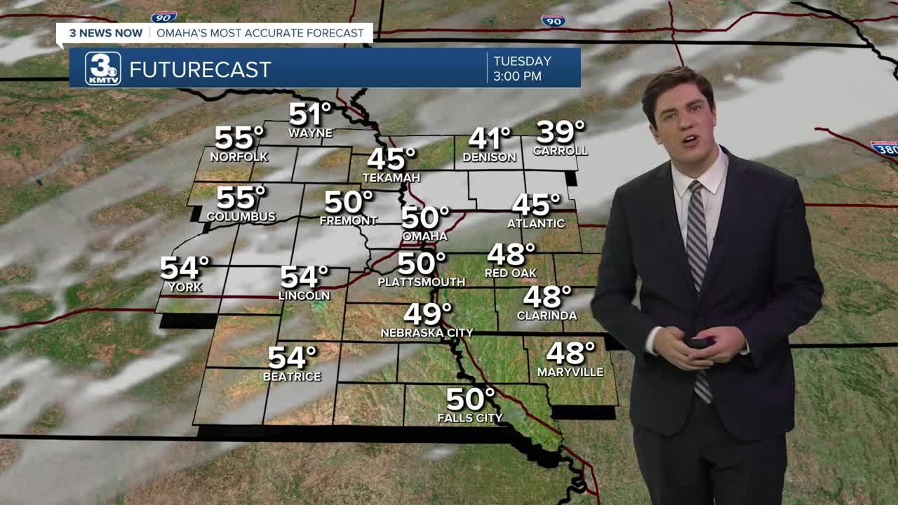
Tuesday will be even warmer than yesterday, with mostly sunny skies and highs near 50.
The low 50s continue on Wednesday, but there will be a few extra clouds during the day, and the wind will become breezy at times, too.
A cold front will move into the region late Wednesday evening, bringing a few spotty rain showers overnight. The rain is not for everyone, as some neighborhoods will remain dry overnight.
Thursday will be very windy and cooler in the wake of the cold front. Winds could become as gusty as 50-60 mph, which may lead to power outages and tree damage. It is a "falling temp" day, with the warmest weather in the morning and cooling off throughout the day.
As winds begin to settle down Thursday night, temperatures dip in the 10s for Friday morning.
Friday is less blustery, and the afternoon is a little warmer with a mix of clouds and sun, and highs in the mid-40s.
During the weekend, there is a minimal chance for rain or snow on Sunday, but this is unlikely at this time. Highs will be in the 40s on Saturday and the upper 30s on Sunday.
Looking forward to next week, it's looking warmer than average and mostly dry for the first half of Christmas week.
TUESDAY
Mostly Sunny
Above Average
High: 50
Wind: S 10-15
TUESDAY NIGHT
Mostly Clear
Chilly
Low: 29
Wind: SE 10-15
WEDNESDAY
Partly Sunny
Breezy
Nighttime Showers
High: 51
Wind: S 15-25
THURSDAY
Partly Cloudy
High Winds
AM Temp: 38
PM Temp: 30
Wind: NW 35-55
Share your weather pictures with KMTV:
- Email to News@3newsnow.com
- 3 News Now Facebook page
- Use the hashtag #3NewsNow on Instagram or X (formerly Twitter)
