



3 THINGS TO KNOW
- Staying very warm early this week
- Midweek rain chance is trending downward
- Slight cool down into the weekend
FORECAST
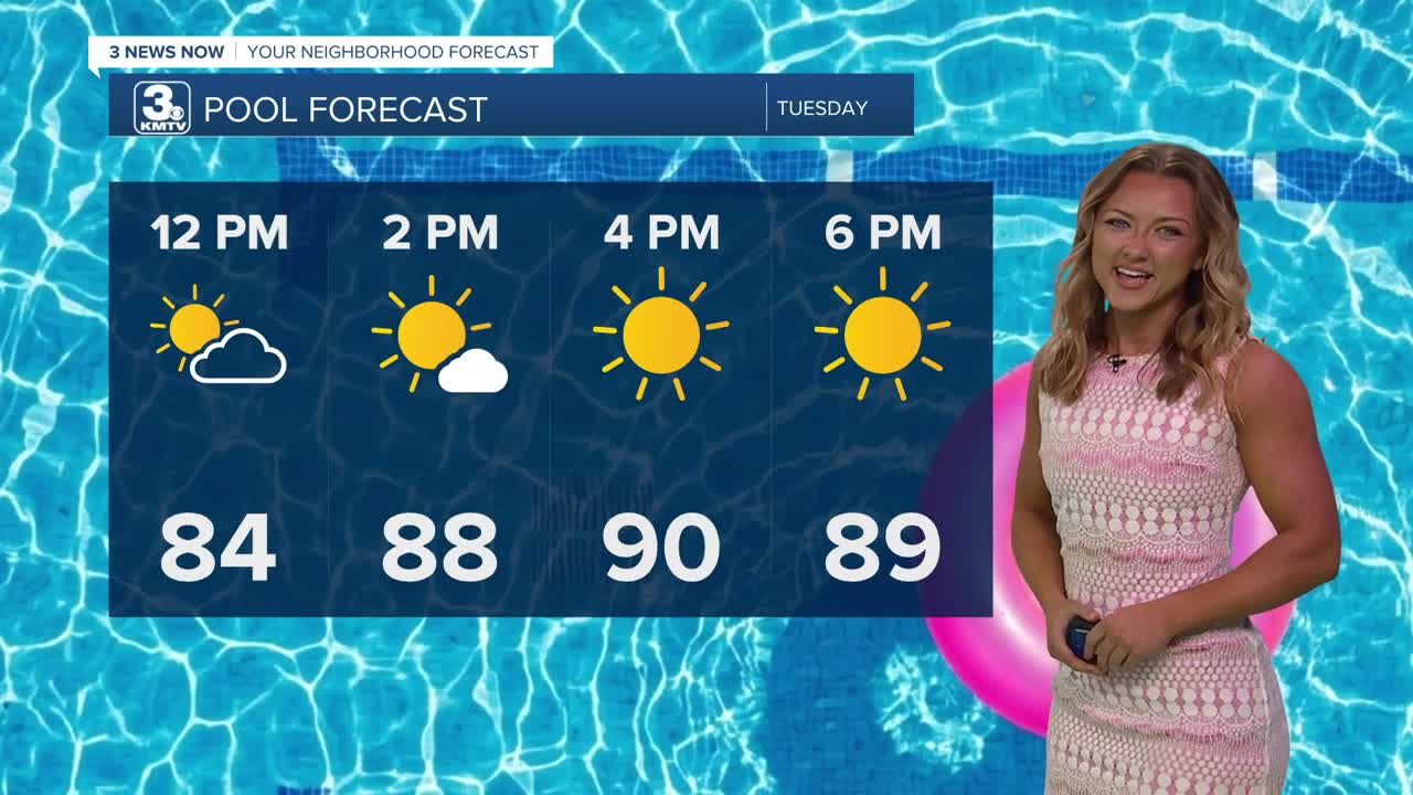
We'll see a lot of sunshine again by this afternoon, with UV ratings back up at a level 8 - remember to bring that sunscreen if you're enjoying the warmth!
Our Tuesday afternoon will spike all the way back up into the upper 80s, with some areas peaking even into the lower 90s.
Most of the rain looks to stay south of Omaha on Wednesday, but some showers are possible close to the Kansas border. Elsewhere, the warm weather continues with highs in the upper 80s.
Our late week rain chance is trending farther south and west, which may keep more of our neighborhoods dry from Thursday into the weekend. Still, a few showers and storms are possible around the area beginning on Thursday and lasting into the weekend. No organized severe weather is expected.
We will also see a slight cool down starting on Thursday, but it's still warm with highs in the low 80s and lows in the 50s and 60s.
TUESDAY
Sunny
Warm
High: 90
Wind: SE 5-15
TUESDAY NIGHT
Mostly Clear
Mild
Low: 63
Wind: S 5-15
WEDNESDAY
Mostly Sunny
Warm
High: 89
Wind: SE 5-15
THURSDAY
Mostly Cloudy
A Few Storms
High: 86
Wind: SE 5-15
Share your weather pictures with KMTV:
- Email to News@3newsnow.com
- 3 News Now Facebook page
- Use the hashtag #3NewsNow on Instagram or X (formerly Twitter)
