


After days in the 60s and 70s, winter is returning with our first significant snow event of the year. Check back here for the latest on the forecast, travel conditions, and closures.
For the latest on school & business closures, check the closings tab.
6:05 pm - Neighborhood reporter Jill Lamkins gives a live update from northwest Omaha at 6 pm.
6:05 pm - Neighborhood reporter Molly Hudson gives a live update from downtown Omaha at 6 pm.
6:02 pm - Crews at Eppley Airfield working hard to clear runways & keep flights on schedule. As of 6 pm, several flights are delayed some, check Eppley's website for more details.

5:55 pm - 2-3" of snow has fallen across the Omaha metro, according to reports. Eppley Airfield's 6 pm observation is 3".
5:41 pm - Sarpy County Sheriffs Office Statement: "Our deputies are working hard to reach motorists. Please avoid 63rd and Platteview Road (jack-knifed semi) and 150th and Highway 370. If you are in a collision, consider if it is safer to wait for deputies or exchange information. IF YOU DO NOT NEED TO BE OUT, PLEASE STAY IN. LET'S ALL KEEP SAFE TOGETHER!"
5:34 pm - Papillion, La Vista, Douglas County, and Sarpy County divisions are on accident diverson until further notice. If it's not an injury accident, officials say to exchange information.
5:21 pm - I-80 EB on ramp to US-75 is CLOSED due to a crash

5:09 pm - Statement from Mayor John Ewing Jr.: "Omaha, be safe tonight. Stay in if you can, give yourself extra time if you must go out and give city plows time to do their thing. We’ll have a full crew plus contractors out to clear roads. Thank you!"
5:07 pm - New accidents reported at 50th and Leavenworth, 52nd and Dodge, and 48th and NW Radial.
5:04 pm - I-80 EB at Milford (Seward County) is CLOSED because of a crash.
4:54 pm - Accidents reported at 118th and Roxbury & at 156th and Center.
4:45 pm - Multi-vehicle crash blocking both lanes of I-80 near McPherson Road in Council Bluffs. Avoid the area!
4:25 pm - Jackknifed semi on US-34 at US-75 near Union in Cass County. In Palmyra in Otoe County, a multi-vehicle crash has occurred on Highway 2.


4:15 pm - Meteorologist Joseph Meyer gives an update on the snow band moving into Omaha.
4:05 pm - Emergency vehicles are seen from the NDOT camera in Plattsmouth at US-75/34 and Hwy 66, likely due to an accident. US-75/34 and Hwy 66 is CLOSED.

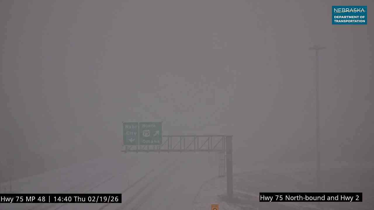
2:40 pm - Very low visibility in Nebraska City as a band of heavy snow continues to lift north, this will arrive in the Omaha metro within the next hour or so.
2:10 pm - Heavy snow is falling south of Omaha, as shown on this NDOT camera in Nebraska City. Snow is also starting to fall in the metro too.

1:51 pm - Ralston has declared a snow emergency from 3 pm until 8 pm tomorrow. Vehicles cannot be parked on any street, park them in driveways or a snow emergency parking lot at 75th/Main St and Hillcrest Landing.
1:15 pm - Thundersnow has been reported in northwest Missouri. There is enough energy for a few rumbles of thunder, mostly over western Iowa.
12:45 pm - Meteorologist Joseph Meyer gives an update for the afternoon.
FORECAST
TIMING: Light snow begins around noon and increases in intensity through the afternoon. The heaviest snow will fall between 4 and 8 pm before winding down after 10 pm. Snow ends for the area by Friday morning.
AMOUNTS: The heaviest snow will be along/north of I-80, where 4-6" is possible, this includes the Omaha metro. Lesser amounts farther north & south of this band. The gradient will be tight, and 30 miles may be the difference between little snow & several inches.

IMPACTS: Expect issues for the Thursday PM commute as the heaviest snow falls. There will likely be issues for the Friday AM commute as well. With 30-40 mph winds, visibility may be impacted. This is a heavy, wet snow, meaning it will be difficult to shovel.
