

3 THINGS TO KNOW
- Storms Wednesday, Friday
- Severe weather possible
- Short cold-snap below freezing this weekend
FORECAST
A SEVERE THUNDERSTORM WATCH is in effect until 7 pm for the Omaha metro and surrounding areas.

Scattered storms may produce some 1-2" hail through the afternoon. Pay attention to warnings and get away from windows when storms arrive!
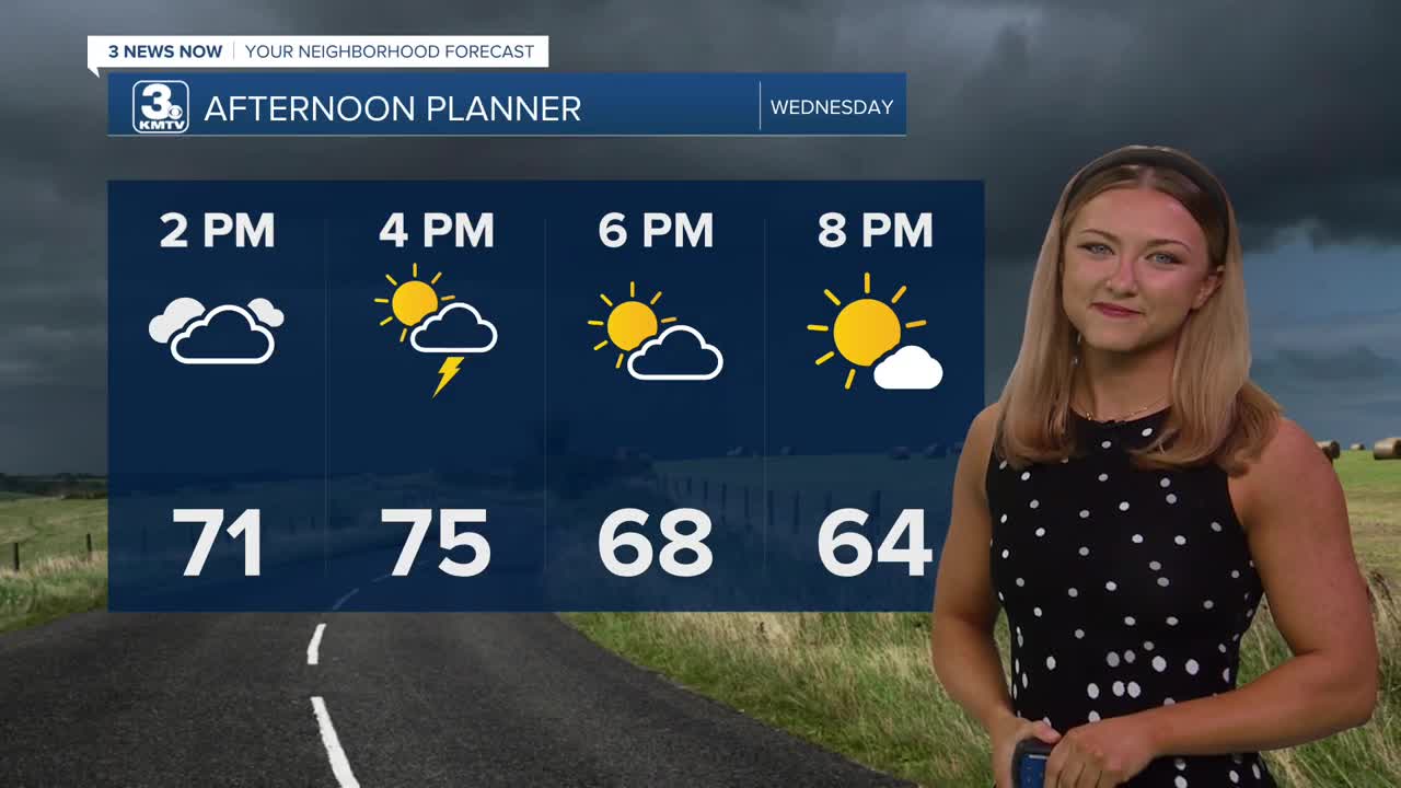
There is a chance at more storms popping up later in the afternoon. Confidence has increased that these storms would be severe, capable of large hail and damaging winds. The timing will be from 2pm until 9pm across the Omaha metro and into western Iowa.
Dry, sunny and warm weather is back Thursday with highs in the mid 80s.
The final round of storms for the week are possible on Friday as a cold front sweeps through the region. This could also lead to a chance at severe weather on Friday afternoon. It will be windy! Temps will go from the 70s/80s on Friday, down to the 30s Saturday morning, and only in the 50s by Saturday afternoon. Winds could gust up to 45+ mph.
As winds settle Saturday night and skies remain clear, areas of patchy frost and freezing conditions are expected. Sunday morning will be around 29-32 degrees.
Sunday and next Monday will be dry, sunny and warmer with highs in the 60s and 70s.
WEDNESDAY
Partly Sunny
Scattered Strong PM Storms
High: 75
Wind: SW 15-25
WEDNESDAY NIGHT
Storms Exiting
Partly Cloudy
Low: 50
Wind: SW 5-15
THURSDAY
Partly Sunny
Warmer
High: 84
Wind: S 20-25
Share your weather pictures with KMTV:
- Email to News@3newsnow.com
- 3 News Now Facebook page
- Use the hashtag #3NewsNow on Instagram or X (formerly Twitter)
