



3 Things to Know
- Another round of storms Friday afternoon
- More storms on Saturday
- Milder temps, but staying humid
Forecast
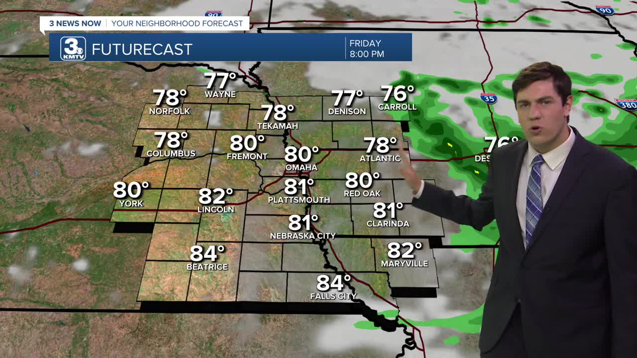
Rain and a few storms are continuing to move eastward through Nebraska and Iowa. Any risk for severe weather looks to stay east of Omaha, but a few of our western Iowa counties may get clipped by a strong storm before 4 pm. The rain will end by 8 pm.
Saturday will be a little warmer, and there should be a few dry hours during the day with upper 80s in the afternoon, feeling like 100 out due to the humidity...Once again, storms will become likely again heading into Saturday night, clearing out early Sunday morning.
In total, models are giving the region around 1.00" to 2.00" on average, with highest amounts of around 4.00" through Saturday night. The higher rain totals look to be north of I-80.
We should start to see things dry out a bit on Sunday and next Monday, but we'll keep a small chance for rain in there for now with temps in the low to mid 80s early next week.
Storm chances increase again on Tuesday afternoon into Wednesday.
FRIDAY
Mostly Cloudy
Rain & Storms
High: 84
Wind: SE 5-15
FRIDAY NIGHT
Partly Cloudy
Mostly Dry
Low: 72
Wind: SE 5-15
SATURDAY
Partly Cloudy
Late PM Storms
High: 87
Wind: SW 0-5
SUNDAY
Mostly Cloudy
Drying Out
High: 82
Wind: N 5-15
Share your weather pictures with KMTV:
- Email to News@3newsnow.com
- 3 News Now Facebook page
- Use the hashtag #3NewsNow on Instagram or X (formerly Twitter)
