



3 Things to Know
- Late-summer 90 degree heat continues
- Small northern NE storm chance late Tuesday
- Labor Day weekend looks warm
Forecast
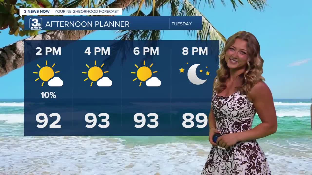
Welcome to September - even though it doesn't really feel like it! We'll increase our sunshine here in the metro as we get closer to the afternoon. It gets very warm again with highs in the low to mid 90s, and an afternoon heat index around 98 degrees. In a lot of our neighborhoods, we'll be TEN degrees above average, which is 83 for the beginning of September!
The stationary front rises up north a little by late Tuesday, but will be meandering around north-to-south all week, so those on the northern side of the boundary could see a few isolated showers. Overall, the chance at rain is 20%.
We'll keep a few clouds around on Wednesday with temps again in the low to mid 90s.
There may be a slightly higher chance at pop-up rain showers on Thursday and Friday, at around 20-30%, as that stationary front drifts south across Omaha again. It stays warm for the end of the week with temps in the low 90s, feeling more like 95 out
If you have Labor Day weekend plans around Omaha, plan for more warm and mostly dry weather! Temps will be around 90 from Saturday to next Monday.
Extra jet-stream 'storminess' could pick up after Labor Day once this stagnant weather pattern begins to break down. Look for several chances at rain after this holiday weekend, and Omaha should be a little closer to the normal high temps of 80-83 degrees by then, too.
TUESDAY
Partly Sunny
Hot
High: 93
Wind: SE 10-20
TUESDAY NIGHT
Partly Cloudy
North Storms Possible
Low: 74
Wind: SE 10-15
WEDNESDAY
Mostly Sunny
Hot
High: 94
Wind: SE 10-20
Share your weather pictures with KMTV:
- Email to News@3newsnow.com
- 3 News Now Facebook page
- Use the hashtag #3NewsNow on Instagram or X (formerly Twitter)
