

3 THINGS TO KNOW
- Wintry mix this morning
- Windy with high wildfire risk Thursday
- Frigid temps expected Sunday night
FORECAST
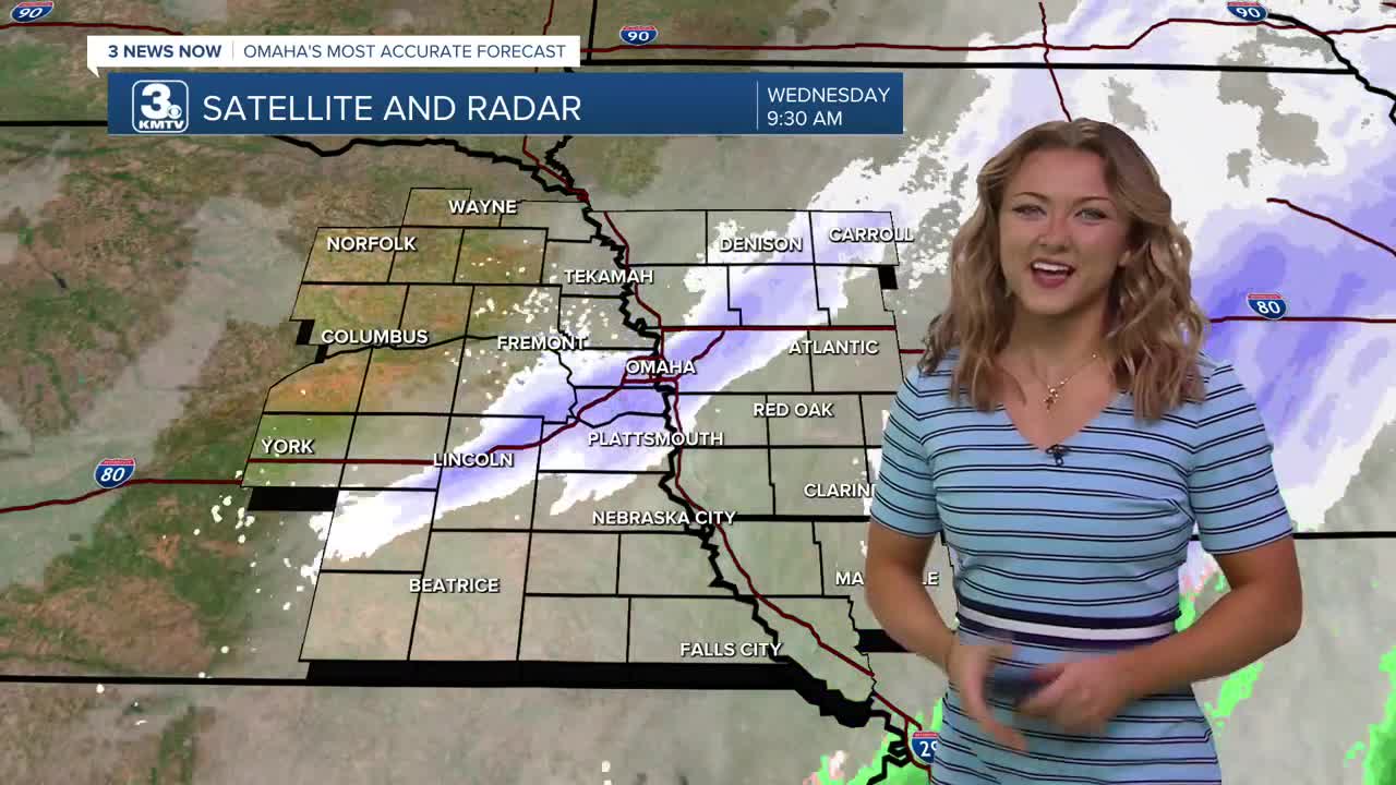
Most of this morning's flurries have moved out towards the east, leaving us with some partially covered ground. Expect majority of this to melt by this afternoon though, as the sunshine comes back out by Wednesday afternoon and it will be windy out with highs near the upper 40s, some seeing the lower 50s.
It gets windy Thursday and due to very low humidity around the region, we will be under wildfire conditions across all of Nebraska and much of west Iowa. So hold off on burning anything. It will be mostly sunny with highs in the upper 60s.
Another cold front hits Thursday night, only ushering in cooler weather for Friday. It will be less windy with highs in the 50s.
Clouds return for the weekend with small chances at rain Saturday, and a small chance at rain and snow Sunday, followed by very cold air Sunday night. Temperatures will go from the 50s on Saturday, to the 30s Sunday afternoon, to the 10s by Sunday night.
This colder weather will continue into early next week. But we should be back in the 50s or 60s by the end of next week.
WEDNESDAY
Partly Cloudy
Breezy
High: 52
Wind: NW 25-30
WEDNESDAY NIGHT
Mostly Cloudy
Chillier
Low: 30
Wind: N 10-20
THURSDAY
Partly Cloudy
Breezy
High: 67
Wind: SW 30-35
Share your weather pictures with KMTV:
- Email to News@3newsnow.com
- 3 News Now Facebook page
- Use the hashtag #3NewsNow on Instagram or X (formerly Twitter)
