



3 Things to Know
- More rain today into Friday
- Super comfy temps!
- Warming up over weekend
Forecast
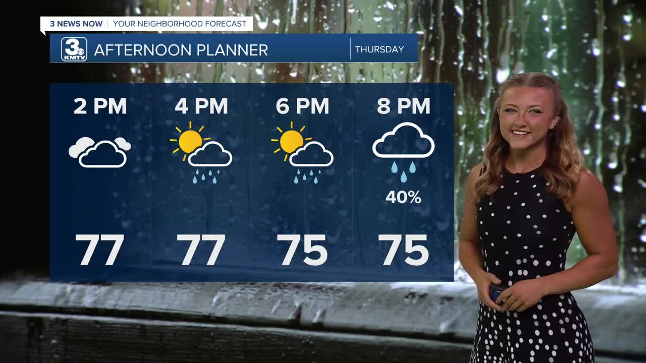
If you enjoyed Wednesday's afternoon highs, Thursday will be a similar day, just maybe a couple degrees warmer! Expect highs in the lower 80s and upper 70s in most areas. The spot shower trend continues, but more widespread rainfall is expected overnight tonight.
The greatest chance for all of us to see rain will be later Thursday night into Friday morning. This rainfall could last all the way into Friday midday. In total, many south of I-80 in southeastern Nebraska could see upwards of 1.0" to 2.0" of rainfall. Those north of the interstate may only see up to 0.25" of rain.
By the time the weekend rolls in, it starts to get hot again. Saturday will be mostly sunny with highs in the low 90s, feeling like 95. This will be followed by more heat on Sunday and Monday with highs in the upper 90s, feeling 105-110.
We should start to see this heat pull back a bit around either Tuesday or Wednesday, and there may be some rain around the end of next week as well.
THURSDAY
Mostly Cloudy
Spotty Rain
High: 77
Wind: N 5-10
THURSDAY NIGHT
Rainy
Cool!
Low: 63
Wind: S 5-10
FRIDAY
Mostly Cloudy
Morning Showers
High: 79
Wind: S 5-15
Share your weather pictures with KMTV:
- Email to News@3newsnow.com
- 3 News Now Facebook page
- Use the hashtag #3NewsNow on Instagram or X (formerly Twitter)***ENTER IN FORECAST INFO***
