

3 Things to Know
- Hot & humid weather continues
- Next few nights with severe storms possible
- Might be a rainy and hot July 4th weekend
Forecast
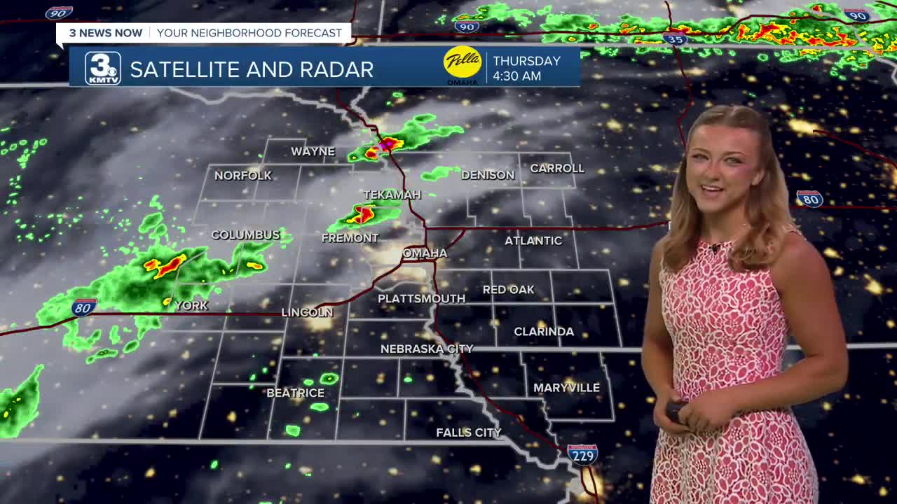
A line of storms has tried to form this morning, ultimately dropping some smaller hail near Fremont and Hooper. As these storms continue to push farther north, most of us will wake up this Thursday morning to some clouds and very humid air.
By the afternoon, the rain and storms should lift off to our east, but the leftover clouds may keep high temps only to the upper 80s. Regardless, it will be very humid out with feels like conditions in the upper 90s. Another round of overnight storms are possible Thursday night.
Friday could be a very hot day, with partly sunny skies and humid conditions. Highs will be back in the low to mid 90s with heat indices from 100-105. Thunderstorms will be possible after 7-8pm, with some of these storms possibly becoming severe. Hail and strong winds are the main threat overnight.
It gets very hot again Friday, but it will probably be our last really hot and humid day where heat indices could top 105-110 again. Look for highs in the mid 90s.
Be ready to dodge some rain on the 4th of July. Showers and storms are likely at any point in the day, but the best times to see rain will be heading into the evening, after 5-6pm. This rain will be coming in from the west. There should be enough dry-time during the day for temps to reach 90 degrees one more time this week.
By Sunday, things are trending not just drier, but cooler with highs back down into the upper 80s. This slightly milder weather will continue through much of next week.
THURSDAY
Spotty Storms
Humid
High: 88
Wind: S 10-20
THURSDAY NIGHT
Small Storm Chance
Still Warm
Low: 75
Wind: S 10-20
FRIDAY
Partly Sunny
Hot & Humid
High: 93
Wind: S 15-25
Share your weather pictures with KMTV:
- Email to News@3newsnow.com
- 3 News Now Facebook page
Use the hashtag #3NewsNow on Instagram or X (formerly Twitter)
