

3 THINGS TO KNOW:
- Warm up early this week
- Chance at light snow Wednesday night
- Another snap of cold air hits Friday, this weekend
FORECAST:
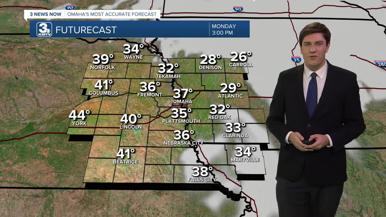
A warm front is leaving a temperature divide from west to east this morning. Neighborhoods west of Omaha are in the upper 20s, while those in Iowa are in the 10s. We get warmer today, highs will be in the upper 30s. Some spots west of Omaha could reach the 40s.
Tuesday will be the warmest day of the week with a mix of sun and clouds with highs in the upper 40s to near 50 degrees! Outside of snow piles, most of the snow on various surfaces will likely melt away.
A cold front will move in late Tuesday night, bringing colder weather and some wind, with some gusts up to 35 mph possible.
Wednesday will only reach the low 30s with a mostly cloudy sky. There is a chance for some light snow Wednesday night through Thursday morning.
The cool-down doesn't stop there. We get another blast of cold air on Friday, sending temperatures down to near 20, and into the upper 10s for Saturday. Overnight temperatures dip in the single digits this weekend.
Each day could bring some small snow chances, but no major impacts are expected.
Warmer weather will return early next week, and Omaha's high temperature will get closer to normal, now around 39 degrees.
MONDAY
Mostly Sunny
Warmer
High: 37
Wind: S 5-15
MONDAY NIGHT
Partly Cloudy
Chilly
Low: 28
Wind: S 5-15
TUESDAY
Partly Sunny
Warmer than average
Nighttime Wind
High: 50
Wind: SW 10-30
WEDNESDAY
Mostly Cloudy
Colder
Snow At Night
High: 33
Wind: NW 15-25
Share your weather pictures with KMTV:
- Email to News@3newsnow.com
- 3 News Now Facebook page
- Use the hashtag #3NewsNow on Instagram or X (formerly Twitter)
