

3 THINGS TO KNOW
- Cold start, but a pleasant Easter Sunday
- Active week ahead with rain, snow, and storms
- Breezy week with bouncing temps
FORECAST
It's cool and windy outside for your Saturday evening, but the wind will relax as the sun sets. Tonight, we get chilly as we fall below freezing, so frost development is possible on exposed surfaces.
Despite the cold start, Easter Sunday looks pleasant with lots of sunshine as highs rise into the mid-60s.
Next week turns active, with nearly daily chances of precipitation.
A band of light rain moves overhead around midday on Monday. While most will be above freezing, some neighborhoods may be cold enough for some snowflakes to mix in. Highs on Monday will reach the mid-40s.
As temperatures fall on Tuesday morning, another band of light precip moves by. It could be cold enough for some snow showers on Tuesday morning. However, impacts are expected to be low for several reasons. 1.) Snow amounts will be low, if any. 2.) We warm above freezing by the afternoon, so any snow that falls will melt fast.
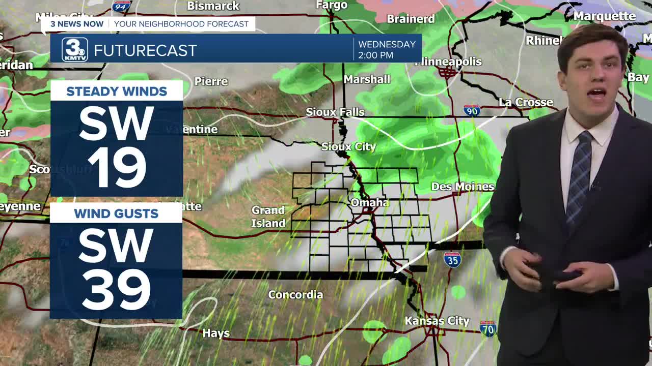
In fact, we continue warming right into Wednesday morning, and do not stop as highs on Wednesday soar into the low 70s. However, just as fast as we warm up, a cold front moves in, sparking off some rain & thunderstorms Wednesday evening. These will likely not be severe as the ingredients will not have time to arrive.
Thursday looks to be the driest day so far, with most of the rain missing us. Highs on Thursday will be cooler too, around 60 degrees.
Friday looks to be the rainiest day, depending on where fronts set up. There could also be a few thunderstorms, too, but any severe threat will depend on where the warm front sets up. Right now, any severe risk looks to stay to our south.
Lingering rain showers continue into the weekend with highs in the upper 50s.
SATURDAY NIGHT
Mostly Clear
Cold
Low: 29
Wind: NW 5-15
SUNDAY
Mostly Sunny
Comfortable
High: 66
Wind: NW 5-15
MONDAY
Mostly Sunny
Light Rain
High: 46
Wind: NE 5-15
TUESDAY
Mostly Cloudy
AM Rain/Snow
High: 44
Wind: SE 10-25
Share your weather pictures with KMTV:
- Email to News@3newsnow.com
- 3 News Now Facebook page
- Use the hashtag #3NewsNow on Instagram or X (formerly Twitter)
