

3 Things to Know
- Cooling off Thursday & less windy
- Heavy rain Saturday night
- Below average temps for Father's Day
Forecast
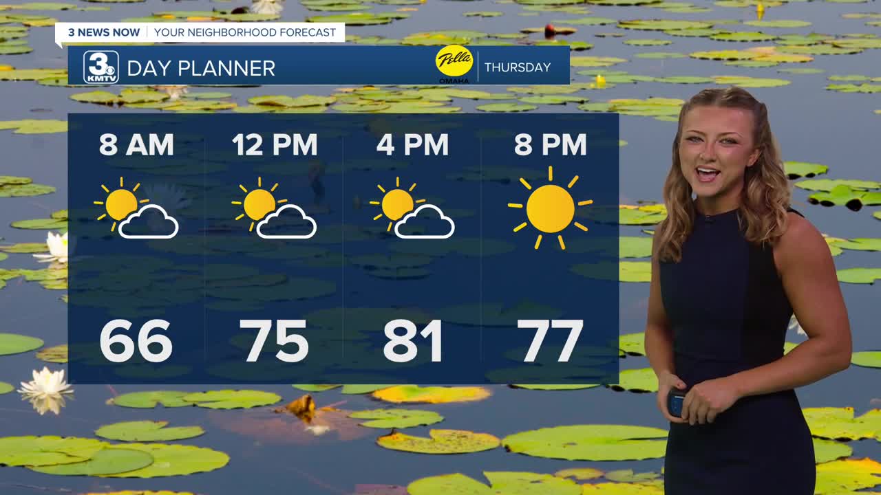
Some of us might be waking up to some very light rainfall for our Thursday morning, but for most of us we're seeing an improvement in temperatures. We'll wake up to the mid 60s, and only climb to the lower 80s by this afternoon! Also, those gusty winds yesterday have definitely died down!
Friday is a little warmer with a mix of sun and clouds, and highs in the mid 80s. There is now a probable chance at rain during the afternoon and evening.
Father's Day weekend is looking wet at times. There will be lots of dry-time Saturday morning through mid afternoon. After about 4-6pm, a round of storms will develop and move in from central Nebraska, becoming widespread into Saturday night.
The Saturday night rain and storms could be very heavy, with around 1.0" to 3.0" of rain possible, which could lead to flash flooding into early Sunday. A few severe storms may also be possible in southeast Nebraska, closer to near Kansas.
Sunday may start out wet before 10am, but there should be some drier weather later in the day with highs only in the upper 70s. It'll be a beautiful Father's Day afternoon if we can see some more sunshine!
Next week continues this stretch of cooler than average weather as temps only reach the low 80s Monday-Wednesday. There may be some more rain around the middle of the week, too.
THURSDAY
Partly Cloudy
Isolated Rain
High: 81
Wind: NW 7-15
THURSDAY NIGHT
Cooler!
Mild!
Low: 58
Wind: NW 10-20
FRIDAY
Temps At Average
Isolated Showers
High: 84
Wind: NW 7-15
Share your weather pictures with KMTV:
- Email to News@3newsnow.com
- 3 News Now Facebook page
- Use the hashtag #3NewsNow on Instagram or X (formerly Twitter)
