

3 THINGS TO KNOW
- Break in cloud coverage, warm Thursday
- Thunderstorm chances late Thursday night, Friday
- Dry and pleasant weekend
FORECAST
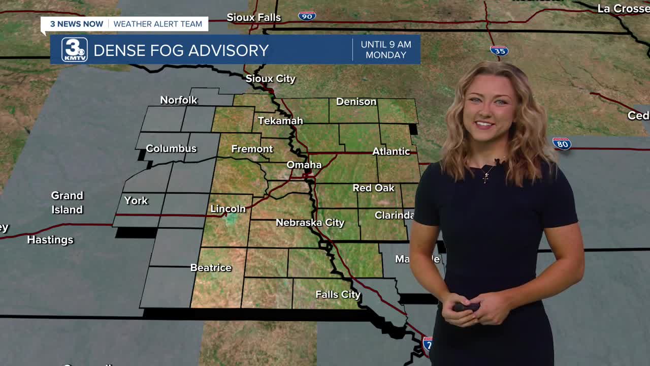
Some of us this morning under a dense fog advisory - those low level clouds don't seem to want to quit!
Luckily, we should see a break by this afternoon, allowing for some sunshine to peek through, and for temperatures to climb up to the 60s today!
Heading into Thursday evening, after 7-8pm, rain and a few thundershowers will begin to move in from the south, becoming scattered Thursday night. A few pockets of hail may be possible in these overnight thunderstorms.
After a wet start to Friday morning, we should see a few dry hours and some limited sunshine to get temperatures back in the upper 60s by early Friday afternoon before another round of showers and thunderstorms develop ahead of a cold front across eastern Nebraska. A few of these storms Omaha could reach severe levels in the afternoon if conditions are right. Rain will continue into Friday evening, clearing out late Friday night.
Things will dry out over the weekend and we see lots of sunshine. Temperatures will be in the 50s on Saturday, but bump back to the upper 60s for Sunday.
We start next week with sunshine and temps in the 70s on Monday, followed by more thunderstorms on Tuesday.
THURSDAY
Partly Cloudy
Storms after 8pm
High: 63
Wind: S 10-15
THURSDAY NIGHT
Showers beginning
Warmer
Low: 51
Wind: SE 5-10
FRIDAY
Partly Cloudy
Scattered Storms
Strong from 2-7pm
High: 68
Wind: S 15-25
Share your weather pictures with KMTV:
- Email to News@3newsnow.com
- 3 News Now Facebook page
Use the hashtag #3NewsNow on Instagram or X (formerly Twitter)
