

Overnight, we'll drop in the mid 60s for Friday morning, and you may notice some extra humidity by the morning hours.
The humidity climbs higher on Friday, and it will be a little warmer out with highs in the mid 80s. Skies will remain partly cloudy for most of the day, with rain and storm activity becoming more possible late in the evening and into the overnight hours. These storms might be capable of strong winds.
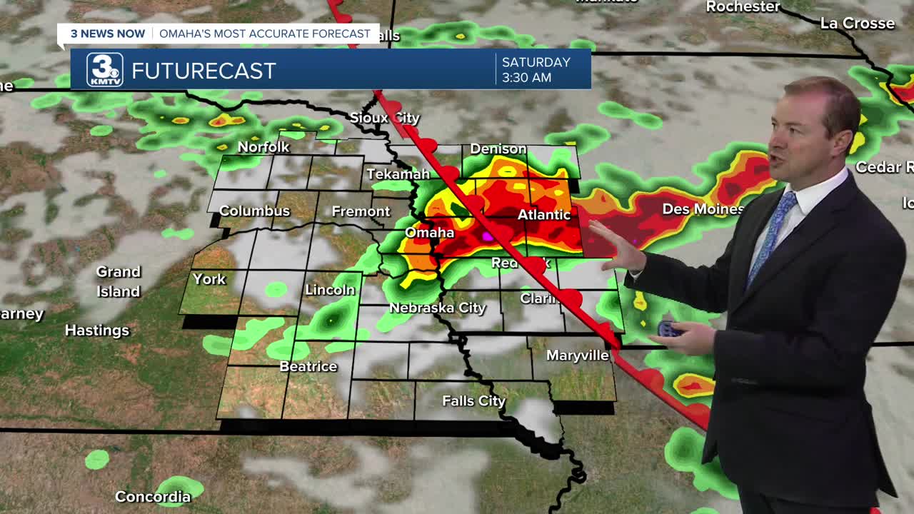
Hit and miss storms will continue across the region both Saturday and Sunday. Even if you get hit by a storm, there will still be plenty of dry time for your outdoor plans. Both afternoons will be in the upper 80s for neighborhoods that stay dry. The best times to see any rain appear to be in the evening and at night.
After a chance at some early Monday morning rain, it gets hot. Highs on Monday will reach the low to mid 90s, and heat indices will climb above 105.
Temperatures will continue to climb Tuesday and Wednesday with mid 90s and plenty of humidity, making it feel more like 105 to 110 out in the afternoon. A couple of isolated storms will be around both days, but a majority of the area will be dry.
A cold front will start to approach Omaha by Thursday of next week, eventually bringing some heat relief, and possible more chances at thunderstorms late next workweek.
FRIDAY
Partly Cloudy
Spotty PM Rain/Storms
High: 84
FRIDAY NIGHT
Mostly Cloudy
Scattered Storms
Low: 70
SATURDAY
Partly Cloudy
Spotty Storms
High: 88
SUNDAY
Partly Cloudy
Spotty Storms
High: 88
Share your weather pictures with KMTV:
- Email to News@3newsnow.com
- 3 News Now Facebook page
- Use the hashtag #3NewsNow on Instagram or X (formerly Twitter)
