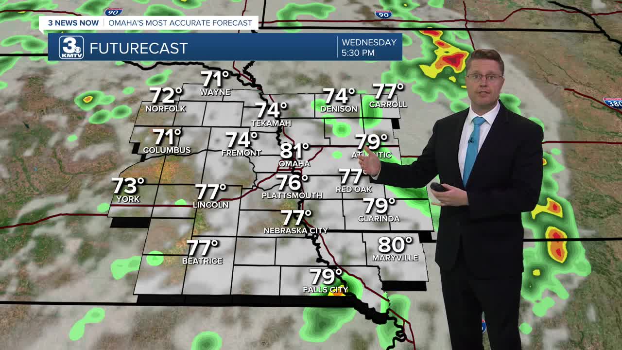


Scattered showers and storms will continue across eastern Nebraska and western Iowa most of the day. While nearly everyone will see rain at times today, there will be a lot of dry time mixed in. Depending on when some of the rain hits your neighborhood, highs will range from the mid 70s to upper 70s.
Early tonight, the bulk of the rain will come to an end, but there could be a few leftover spotty showers overnight. Most of us will be dry into the Thursday morning commute as we cool off into the mid 60s.
Thursday afternoon, a lot of eastern Nebraska will be dry, but it will still be mostly cloudy with upper 70s. By late afternoon, there's a better chance for some scattered showers and storms to move through western Iowa. These could clip Omaha, but it's far from a guarantee.
While some of the rain in western Iowa could continue into Friday morning, most of the day looks dry. There will still be a lot of clouds around with temperatures near average, in the upper 70s. Right now, there's a good chance we keep our Friday night football games dry.
There's also a good chance, for now, the Huskers game will be dry with a mix of sun and clouds. Lincoln has a better chance of getting to 80, but Omaha may only make it to the upper 70s.
Scattered showers and storms become more likely again late Saturday and into Sunday morning. Sunday afternoon looks drier with low 80s.
Fall arrives Monday with low 80s in the afternoon. Then, late Monday, another round of rain is looking more likely.
Tuesday looks a little more comfortable with upper 70s.
WEDNESDAY
Mostly Cloudy
Rain & Storms
High: 78
WEDNESDAY NIGHT
Mostly Cloudy
Spotty Rain
Low: 64
THURSDAY
Mostly Cloudy
Rain, Mainly East
High: 79
FRIDAY
Mostly Cloudy
Spotty Rain
High: 78
Share your weather pictures with KMTV:
- Email to News@3newsnow.com
- 3 News Now Facebook page
- Use the hashtag #3NewsNow on Instagram or X (formerly Twitter)
