

3 THINGS TO KNOW
- Warmer, but cloudy, on Sunday
- Seasonal start to the workweek
- Warmer to end the week
FORECAST
Snow is trying to move into eastern Nebraska this evening, but dry air may help it break up as it approaches Omaha. Still, scattered snow is possible tonight that could bring a dusting to some. Travel impacts are expected to remain minimal tonight. Temperatures fall to around 17.
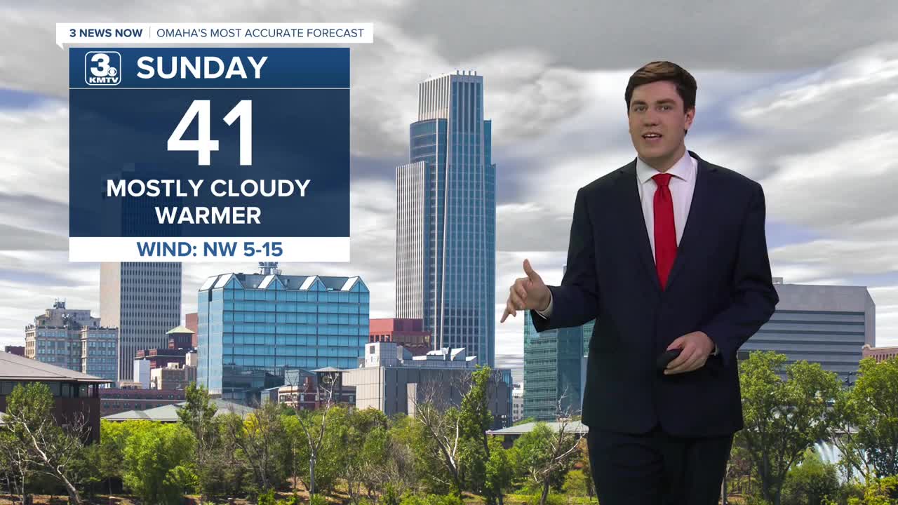
Sunday stays mostly cloudy, but we do see a warmup as temperatures rise into the low 40s. Any snow that is on the ground should melt quickly.
We are mostly cloudy to begin the workweek, but no significant cooldown is in sight. Highs on Monday are in the upper 30s, and highs on Tuesday are in the mid-30s.
Temperatures jump on Thursday with more sunshine, with many neighborhoods reaching the 40s and 50s! Friday stays warm, in the mid-40s, and it's breezy.
Through this week, we remain quite dry outside of some snow flurries on Sunday, Tuesday, and Wednesday. Any chance for precip holds off until sometime next week, at the earliest.
SUNDAY
Mostly Cloudy
Warmer
High: 41
Wind: NW 5-15
SUNDAY NIGHT
Mostly Cloudy
Not As Cold
Low: 22
Wind: N 5-10
MONDAY
Mostly Cloudy
Seasonal
High: 38
Wind: E 5-10
TUESDAY
Mostly Cloudy
Seasonal
High: 34
Wind: NE 5-10
Share your weather pictures with KMTV:
- Email to News@3newsnow.com
- 3 News Now Facebook page
- Use the hashtag #3NewsNow on Instagram or X (formerly Twitter)
