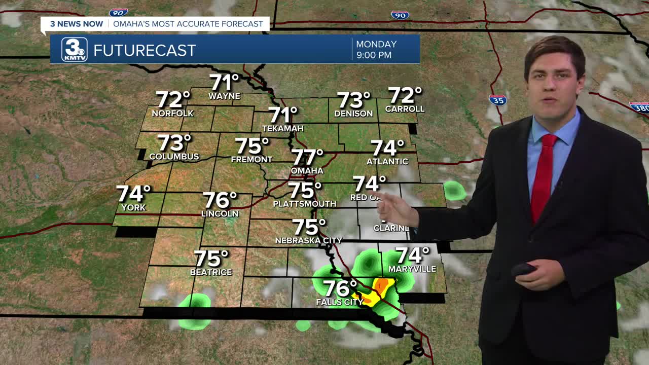


Scattered showers will be around for much of the night as temperatures fall into the middle 60s.
We are dry by the Monday AM commute as the sun returns, pushing us into the upper 80s. A spot storm or two is possible over western Iowa by Monday afternoon, but most of us will be dry.
Tuesday is still hot & sunny, but storms become possible by Tuesday evening.
Wednesday and Thursday is trending wetter with off-and-on thunderstorms for both days. It won't rain the entire time, but there is a chance of rain at any time. No severe weather is expected. Highs will cool a bit with the rain, holding us in the upper 70s.
Our rain chances begin to lower by Friday, but there will still be some storms around for the day. Highs will be in the middle 70s.
By the weekend, we continue to dry out, but an isolated shower or storm is still possible.
MONDAY
Mostly Sunny
Hot
High: 89
SUNDAY NIGHT
Mostly Cloudy
Scattered Rain
Low: 68
TUESDAY
Mostly Cloudy
Late Day Storms
High: 88
WEDNESDAY
Mostly Cloudy
Rain & Storms
High: 79
Share your weather pictures with KMTV:
- Email to News@3newsnow.com
- 3 News Now Facebook page
- Use the hashtag #3NewsNow on Instagram or X (formerly Twitter)
