

3 THINGS TO KNOW
- Severe weather possible this weekend
- Monday may bring the highest risk
- Pleasant week follows the storms
FORECAST
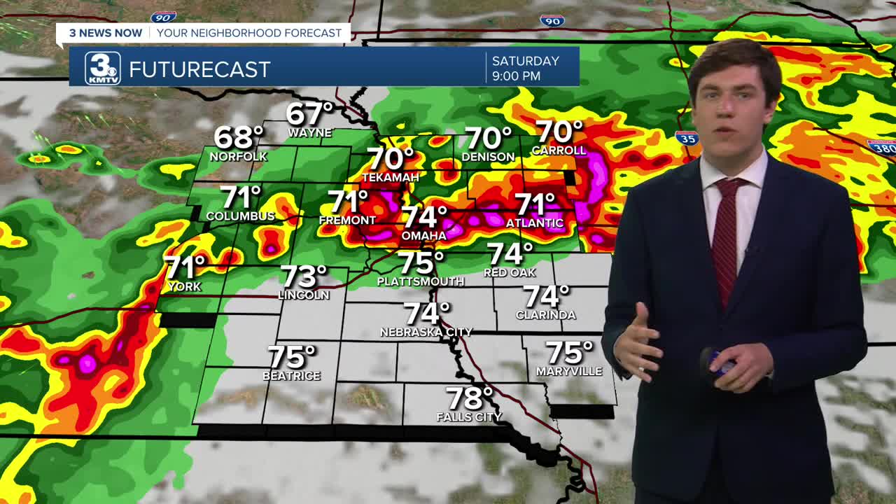
Most of Saturday will be dry & hot with highs in the upper 80s. After 5 pm, a few spot storms might develop over the area. While a low chance, any storm that can develop will likely be severe with hail, winds, and maybe a tornado. Exactly where a storm could fire is uncertain, but they could pop anywhere. After 9 pm, a line of storms will move in from the west with a severe risk, reaching Omaha by 11. These may continue through the area before weakening after midnight.
Like Saturday, most of Sunday will be dry, hot with highs in the low 90s, and windy with gusts up to 40 mph. Storms will develop over central Nebraska after 5 pm and move eastward, potentially forming into a line as they reach Omaha after 8 pm. Along with hail and winds, the ingredients are better for a few tornadoes too. Storms weaken after midnight, but may linger into Monday morning.
As of now, Monday looks to be the most widespread severe risk as the cold front arrives. Storms may develop overhead in the early afternoon and move eastward and out of our area by 10 pm. The ingredients are in place for large hail, damaging winds, and tornadoes. Many things can and will change for Monday, and Monday's storms may depend on how the previous days go.
Bottom line, this weekend is one to pay attention to if you have any plans.
After the storms move out Monday night, the rest of next week is pleasant and cool with highs in the 60s and 70s. Some rain chance may return, starting on Thursday.
SATURDAY
Partly Cloudy
Evening Strong Storms
High: 89
Wind: E 10-20
SATURDAY NIGHT
Mostly Cloudy
Storms weaken
Low: 64
Wind: SE 5-15
SUNDAY
Partly Cloudy
Evening Strong Storms
Windy
High: 91
Wind: S 25-40
MONDAY
Partly Cloudy
Strong Storms
Windy
High: 88
Wind: S 25-40
Share your weather pictures with KMTV:
- Email to News@3newsnow.com
- 3 News Now Facebook page
- Use the hashtag #3NewsNow on Instagram or X (formerly Twitter)
