



3 Things to Know
- Misty and Cloudy Thursday afternoon
- Dangerous heat into weekend
- Above average temps next week
Forecast
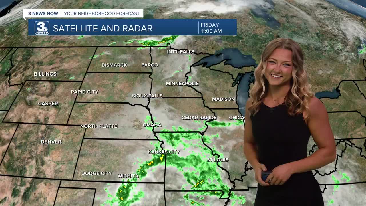
We almost made it to the weekend, but hopefully you're getting the chance to enjoy this cool weather while it lasts! Those morning sprinkles that we saw are slowly making their way out of our area, we should be drier this afternoon!
Friday will remain mostly cloudy and it may get a little muggy with highs in the upper 70s to low 80s. We only cool in the upper 60s Friday night as our heat wave looms...
It gets hot again this weekend. Saturday will be mostly sunny with highs jumping into the low to mid 90s, and a heat index over 100.
Heat warnings may likely be in effect on Sunday and Monday as temps climb past 100º. The heat index for both days could reach an average of 110º. Rain chances are limited as we roll into those super hot days as well.
We should start to see this heat pull back a bit Tuesday or Wednesday where temps will be in the low 90s. There may be some rain around the end of next week as well.
FRIDAY
Mostly Cloudy
Showers Clearing
High: 80
Wind: SE 5-15
FRIDAY NIGHT
Very Pleasant
Drier!
Low: 67
Wind: SE 5-10
SATURDAY
Mostly Sunny
Getting Hot!
High: 96
Wind: SE 10-15
SUNDAY
Sunny
Dangerous Heat
High: 99
Wind: SE 10-15
Share your weather pictures with KMTV:
- Email to News@3newsnow.com
- 3 News Now Facebook page
- Use the hashtag #3NewsNow on Instagram or X (formerly Twitter)
