

3 THINGS TO KNOW
- Snow showers and windy Thursday
- Travel impacts are possible
- Much cooler over the weekend
FORECAST
As the afternoon approaches, so do the snowfall potentials.
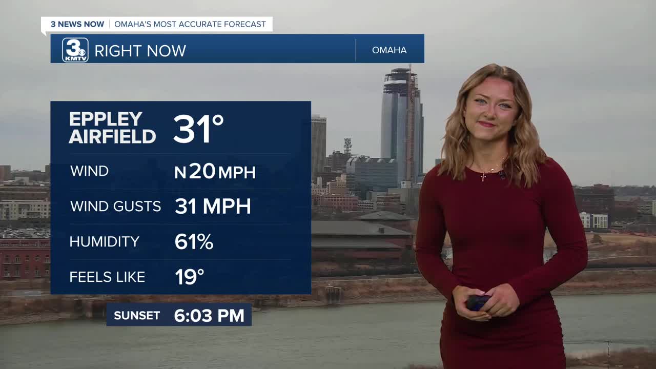
It will be a breezy day with highs in the mid 40s south of Omaha, and only in the 30s in and north of Omaha. Winds could gust to around 35-40mph.
We are watching for the potential of snow squalls during the Thursday evening commute, so be aware of changing travel conditions. Pair the snowfall with the windy conditions this afternoon, and whiteout conditions and reduced visibility become possible.
While snow amounts have shifted quite a bit, some counties have been placed under a Winter Storm Warning. These counties are most likely to see the bulk of snowfall, amounting to around 4-6". The counties surrounding the warning could see a range of 2-4 inches, with those farther south seeing a trace up to 2 inches.
While the warm surface temperatures may melt some of the snow, majority of that will turn into ice as temperatures dip into the 20s overnight.
Roads may still be slick Friday morning, especially north of Omaha. But, the sunshine is back out on Friday, and it will be cool out with highs in the mid 30s.
This weekend should be mostly dry, but it will be cooler and closer to average with highs in the upper 30s. Nightly temperatures will drop in the upper 10s. The average high by February 20th is around 41 degrees.
THURSDAY
Mostly Cloudy
Wintry mix, then snow
Windy
High: 40
Wind: N15-35
THURSDAY NIGHT
Partly Cloudy
Temps to drop
Low: 19
Wind: N 10-15
FRIDAY
Mostly Sunny
Cool
High: 32
Wind: N 10-20
Share your weather pictures with KMTV:
- Email to News@3newsnow.com
- 3 News Now Facebook page
- Use the hashtag #3NewsNow on Instagram or X (formerly Twitter)
