



3 Things to Know
- Overnight rain into Monday morning
- Midweek trending drier, but more late-week storms
- Summertime temperatures
Forecast
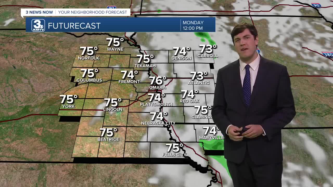
After some rain showers moved through on Sunday, more rain is expected overnight, leading to a wet AM commute for some. However, the rain will remain scattered. There could be some heavier pockets of rain, and a rumble of thunder or two, but no severe weather is expected.
The storms move away by Monday afternoon with highs near 80.
Some storms are possible for Tuesday afternoon as highs jump into the upper 80s.
Dry weather reigns on Wednesday and Thursday, with highs topping out in the upper 80s.
By Friday, storm chances return to Nebraska and Iowa, and these may linger into the weekend as temperatures hold in the mid-80s.
MONDAY
Partly Cloudy
Morning Rain
High: 80
Wind: SE 5-10
MONDAY NIGHT
Partly Cloudy
Dry
Low: 68
Wind: SE 5-10
TUESDAY
Partly Cloudy
Some PM Storms
High: 85
Wind: SE 5-10
WEDNESDAY
Mostly Sunny
Dry & Warm
High: 88
Wind: SW 5-10
Share your weather pictures with KMTV:
- Email to News@3newsnow.com
- 3 News Now Facebook page
- Use the hashtag #3NewsNow on Instagram or X (formerly Twitter)
