

3 Things to Know
- Mainly dry Wednesday
- Stormy pattern Thursday and this weekend
- Growing severe threat for Friday
Forecast
Wednesday looks mostly dry with just a small chance at some late-day rain across east-central Nebraska. We should see plenty of sunshine. Highs will reach the mid 80s with slightly more noticeable humidity. UV levels will be high, so make sure to lather on some sunscreen!.
Thunderstorms will begin to move in from the northwest late Wednesday night, and some gusty winds may be possible as the rain moves in, mainly after 1-2am.
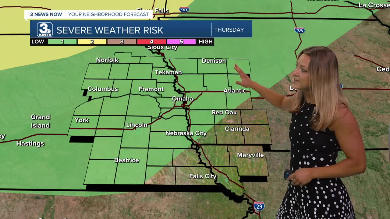
Spotty storms will remain possible early Thursday, sticking around for most of the day. A few stronger storms may form in the afternoon and evening, capable of strong winds and a few pockets of hail. Highs will be in the mid 80s.
Rolling into Friday, our severe weather threat increases. Some strong storms will be possible late Friday afternoon into the evening around areas south and east of Omaha. Hail and strong winds are the primary concerns, with some tornadoes possible.
We should get a break in the rain activity Saturday, but it will be warm and humid out with highs in the upper 80s.
Sunday starts mostly dry and humid, but we expect a round of storms to move after 10am-12pm, which would continue for the rest of the day and into Monday.
After this weekend, it will start to get hot! June averages over eight days in the 90s. We'll begin to see several of those days next week.
WEDNESDAY
Partly Sunny
Warm
High: 85
Wind: SE 15-25
WEDNESDAY NIGHT
Partly Cloudy
Spotty Showers Possible
Low: 65
Wind: SE 5-15
THURSDAY
Stormy Afternoon
Muggy
High: 85
Wind: SE 15-25
Share your weather pictures with KMTV:
- Email to News@3newsnow.com
- 3 News Now Facebook page
- Use the hashtag #3NewsNow on Instagram or X (formerly Twitter)
