

3 Things to Know
- Below average temps, but humid this week
- Rain possible Tuesday
- 90º heat could return starting this weekend
Forecast
After a few morning clouds, we are back to mostly sunny skies on Wednesday and it will be a little warmer out, too. Highs will be in the low 80s. There is a small chance that rain pops up again later in the afternoon.
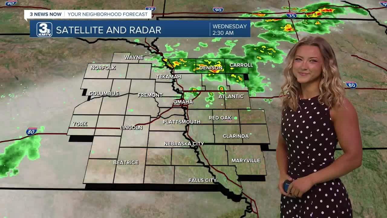
Heading into late Wednesday night, another round of rain will be possible, which will continue into Thursday morning. We do not expect severe weather from this at this time.
Thursday will be a mostly cloudy day, and because of the clouds and chance at rain, temps will only reach the upper 70s.
Friday is now trending drier and sunnier, which also means it will be a little warmer out with low 80s for highs.
By the weekend, some rain is possible on Saturday while it gets breezy and humid with highs in the mid 80s. Sunday will be even hotter, windy and mostly sunny with low 90s for highs. Sunday's near index could reach 100.
Next week will be hot and humid. Afternoon temps will likely be in the low 90s and heat indices in the 100s with noticeable humidity. At night, we'll only cool off into the mid 70s. There is a chance for more storms around Monday night and Tuesday.
WEDNESDAY
Mostly Sunny
Warmer
High: 83
Wind: S 5-10
WEDNESDAY NIGHT
Mostly Cloudy
Spotty Storms
Low: 62
Wind: S 5-10
THURSDAY
Mostly Cloudy
Spotty Storms
High: 77
Wind: S 5-10
- Email to News@3newsnow.com
- 3 News Now Facebook page
Use the hashtag #3NewsNow on Instagram or X (formerly Twitter)
