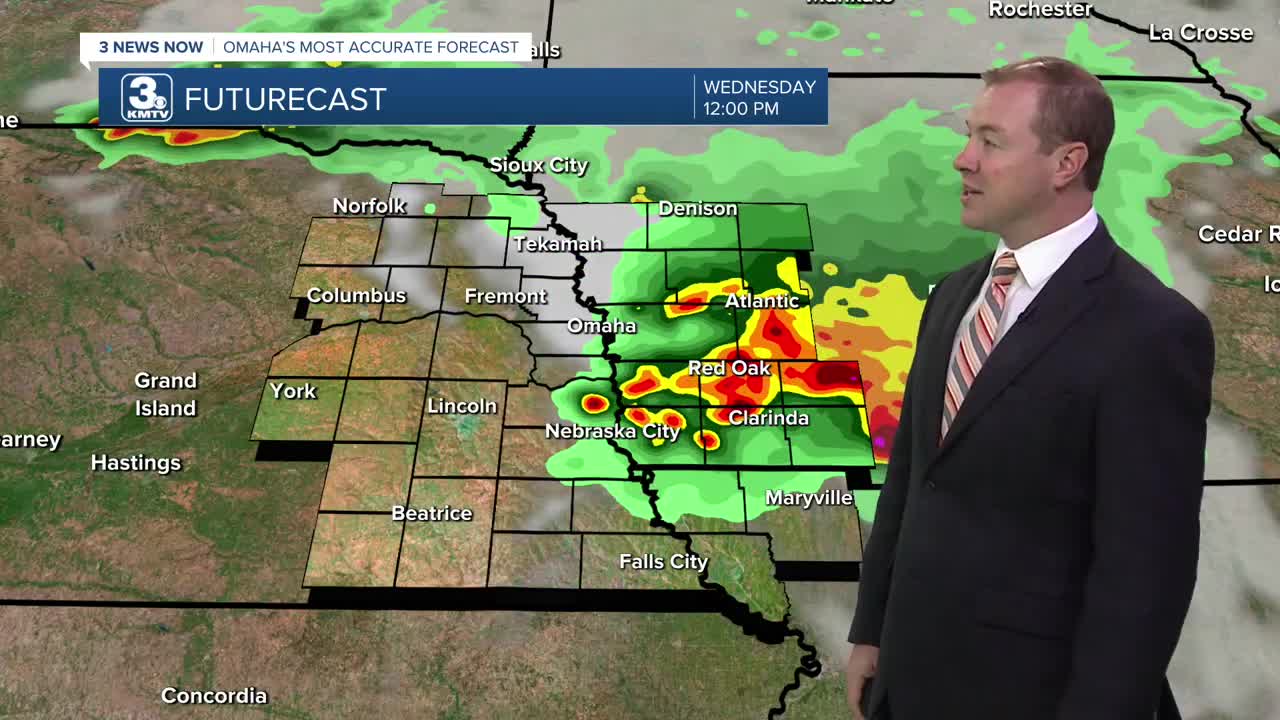


Scattered storms may become possible overnight, manly north of Omaha and north of I-80. But by Wednesday morning, these storms will become a bit more widespread for the morning commute. We'll start out Wednesday in the upper 60s.
The rain will be most likely during the morning hours of Wednesday. By the afternoon, a few hit and miss storms will continue, but a lot more of us will be dry for the second half of the day. As skies become partly cloudy in the afternoon, it will get breezy with mid 80s for highs. More spotty storms could pop up later into Wednesday night.
Thursday could also start with a few hit and miss showers and storms. Once the morning rain clears up, the afternoon brings more sunshine. It will be breezy and humid with low 90s.
Friday will be mostly sunny and breezy with mid 90s across eastern Nebraska and low 90s across western Iowa.
There is a slight chance we see some rain late Friday night, but for now we'll keep the chance low.
The weekend will start out hot. It looks like we'll be dry long enough now Saturday to reach the low 90s. Then, heading into Saturday night, showers and storms will become more likely. Although, more of this rain could land on Sunday vs. Saturday.
Sunday won't be as hot thanks to the rain and extra clouds. Highs will be in the mid 80s.
The mid 80s continue Monday with a small chance for rain.
WEDNESDAY
Partly Cloudy
Scattered Storms
Breezy
High: 87
WEDNESDAY NIGHT
Partly Cloudy
Spotty Storms
Low: 71
THURSDAY
Partly Cloudy
Spotty Storms
Breezy
High: 91
FRIDAY
Mostly Sunny
Breezy
High: 95
Share your weather pictures with KMTV:
- Email to News@3newsnow.com
- 3 News Now Facebook page
- Use the hashtag #3NewsNow on Instagram or X (formerly Twitter)
