

3 THINGS TO KNOW
- Chilly Night
- Small Rain Chance Wednesday Night
- Slowly Warming Up Through the Week
FORECAST
Tonight, it gets chilly as temperatures drop into the mid-20s.
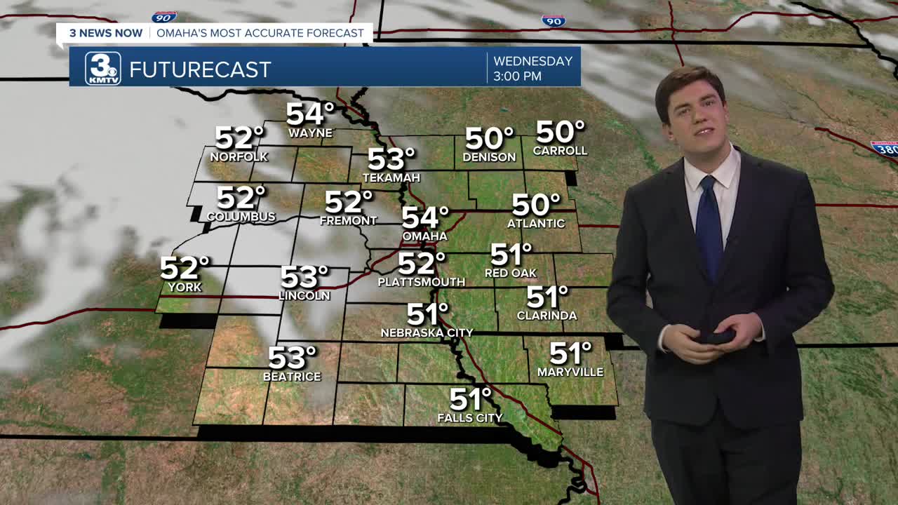
Tuesday will have highs in the mid-50s under a partly cloudy sky, and Wednesday will hold in the mid-50s.
Some rain showers are possible Wednesday night, but most of this will be north of Omaha, and even there, it will be few and far between.
Attention returns to the slow warming trend for the rest of the week. Thursday through Saturday will feature highs in the upper 60s, and we return to the 60s on Sunday!
Monday's record is already at risk with the forecast high of 64. The record is 67, set in 2017.
WEDNESDAY
Partly Cloudy
Comfy
High: 54
Wind: S 5-10
WEDNESDAY NIGHT
Mostly Clear
Small Rain Chance
High: 34
Wind: S 5-10
THURSDAY
Partly Cloudy
Comfy
High: 56
Wind: SE 5-10
FRIDAY
Mostly Sunny
Comfy
High: 58
Wind: SE 5-10
Share your weather pictures with KMTV:
- Email to News@3newsnow.com
- 3 News Now Facebook page
- Use the hashtag #3NewsNow on Instagram or X (formerly Twitter)
