

3 THINGS TO KNOW
- Cold, but less windy MLK Day
- Midweek thaw with seasonal temps
- Very cold late week, snow staying mostly south
FORECAST
It's a frigid start to the week with temperatures in the single digits. With the wind, our wind chills are well below zero this morning.
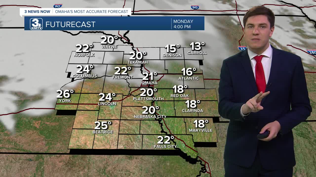
The wind relaxes some this afternoon, but it will continue to be cold with highs reaching the low 20s this afternoon, despite the sunshine.
Tomorrow begins a few days of seasonal cold, meaning highs in the 30s to 40s. Tuesday will be in the 30s, Wednesday into the low 40s, and Thursday will be back in the 30s.
A storm system could bring a small chance of snow northeast of Omaha on Tuesday, though most of us will be dry.
A second one comes through on Wednesday, which may bring more snow flurries to our neighborhoods. No impacts are expected.
By the end of the week, a strong high pressure will slide south from Canada. This high will be strong enough to push any snow to our south, but some flurries are possible on Friday.
The high will also bring the coldest air so far this season. Highs on Friday will be in the single digits, and we likely drop below 0 for the first time this year. Saturday stays cold with highs in the teens.
MONDAY
Mostly Sunny
Cold, but Less Windy
High: 21
Wind: NW 5-15
MONDAY NIGHT
Mostly Clear
Cold
Low: 8
Wind: NW 5-10
TUESDAY
Partly Cloudy
Seasonal
High: 36
Wind: SE 5-15
WEDNESDAY
Partly Cloudy
Snow Flurries
Breezy
High: 42
Wind: S 10-30
Share your weather pictures with KMTV:
- Email to News@3newsnow.com
- 3 News Now Facebook page
- Use the hashtag #3NewsNow on Instagram or X (formerly Twitter)
