



3 Things to Know
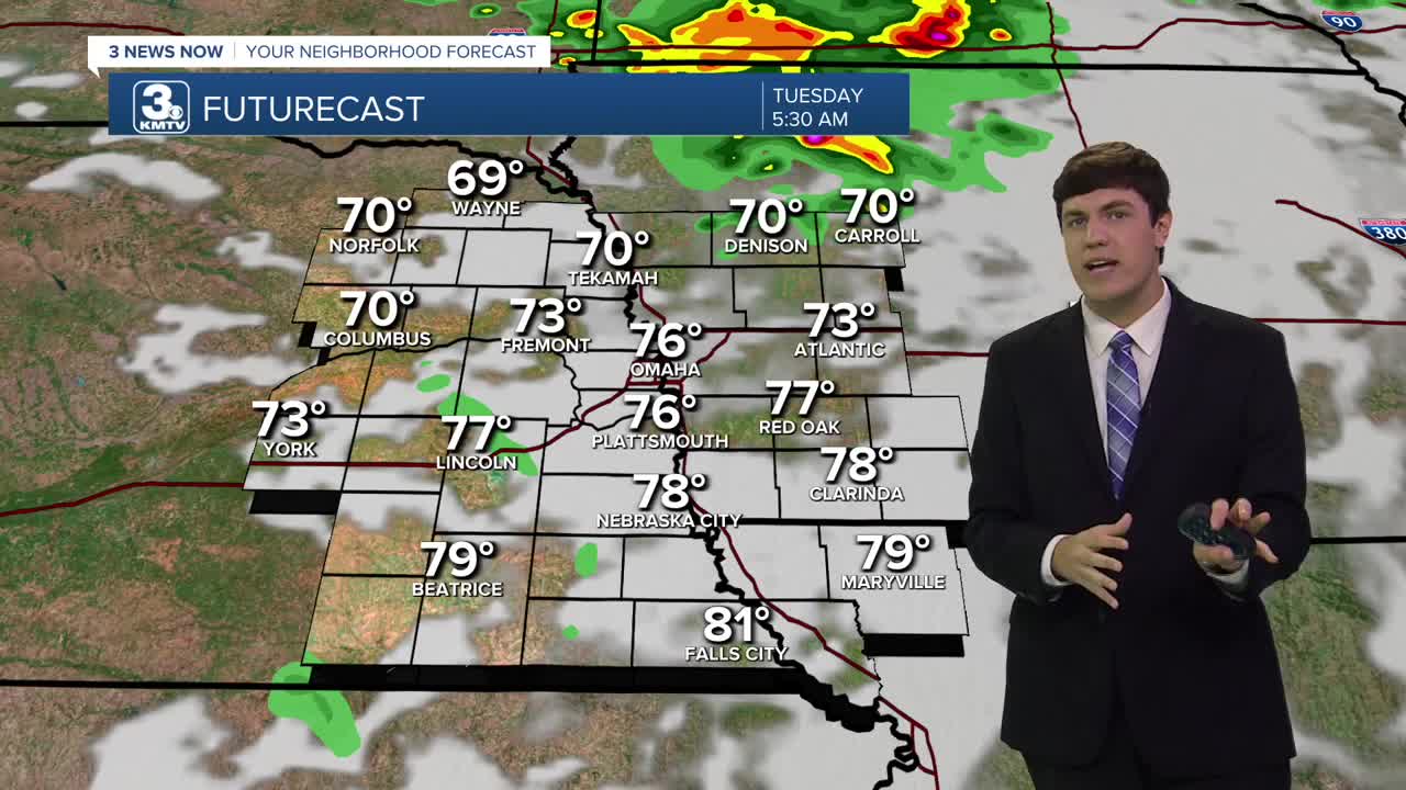
- Hot & humid start to the week
- Hit-or-miss rain chances each day this week
- Cooler, lots of rain later in the week
Forecast
It's a hot one this afternoon as highs reach the low 90s with a heat index around 100-105.
Heading into tonight, a cluster of storms will roll to our north, but it may trend far enough south to clip our viewing area. The chance of this is low but nonzero. Lows will be in the mid-70s.
After the possible AM storms, it's another hot and humid day on Tuesday with temps in the low 90s, feeling like 105 out.
Wednesday looks dry during the day, which means it's another hot & humid day with highs in the low 90s with a heat index around 100.
Showers and storms will become likely and widespread beginning Wednesday night. Waves of storms will continue Thursday and Friday, and even into the weekend.
Severe weather chances look low at this time, but we could see some very heavy rain. In total, models are giving the region around 0.75" to 1.50" on average, with highest amounts of around 3.00" through Friday night.
It will be A LOT COOLER and less muggy out thanks to the storms, with afternoon temps only in the 70s each day from Thursday into the weekend.
MONDAY
Partly Sunny
Hot & Humid
High: 91
Wind: E 5-10
MONDAY NIGHT
Partly Cloudy
Small Storm Chance
Low: 74
Wind: NE 5-15
TUESDAY
Partly Sunny
Hot & Humid
High: 92
Wind: S 5-10
WEDNESDAY
Partly Sunny
Late-Day Storms
High: 90
Wind: E 5-10
Share your weather pictures with KMTV:
- Email to News@3newsnow.com
- 3 News Now Facebook page
- Use the hashtag #3NewsNow on Instagram or X (formerly Twitter)
