

3 THINGS TO KNOW:
- Staying Cold with PM Flurries on Sunday
- Warm up early this week
- Midweek cold front to bring another cold snap by the weekend
FORECAST:
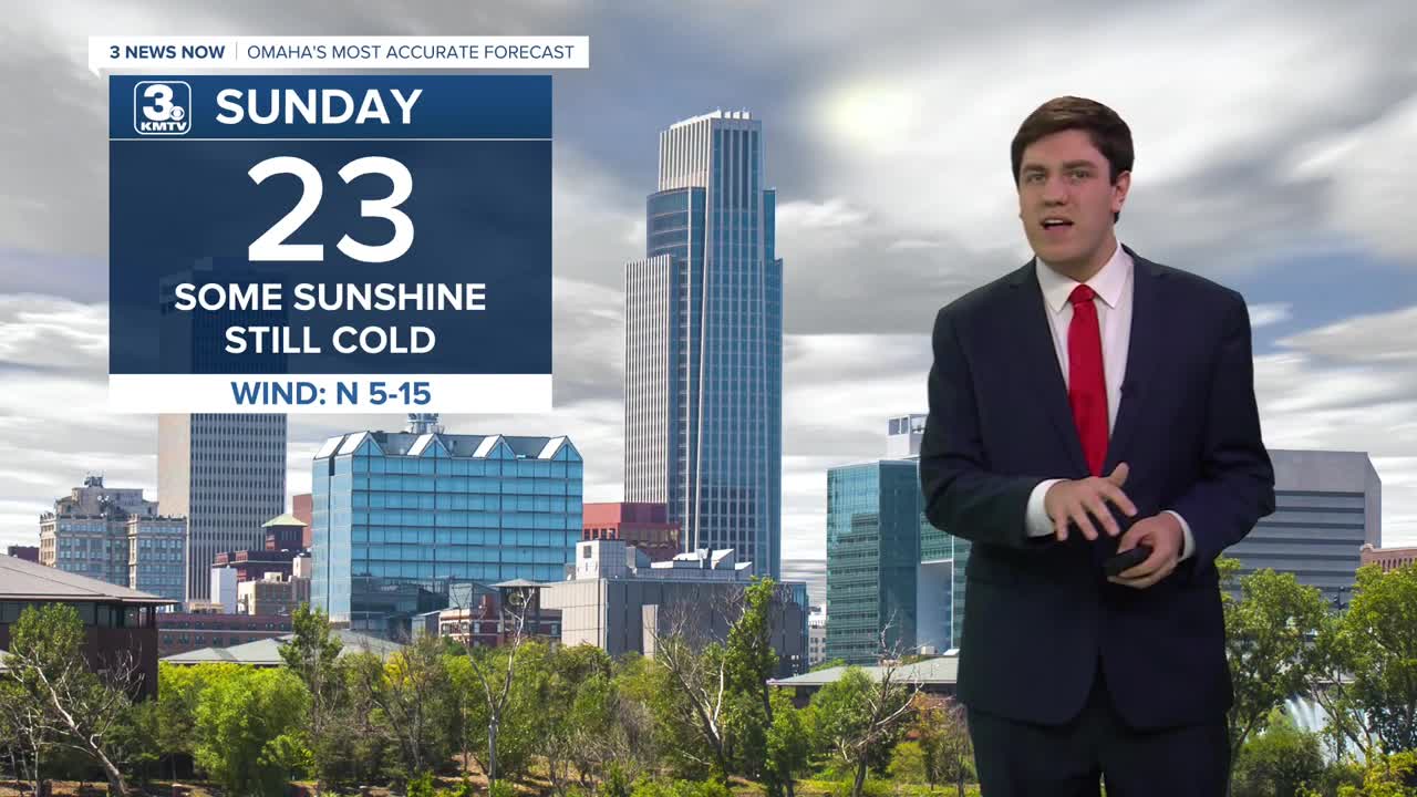
We stay cold on Sunday with highs in the low 20s. Some afternoon snow flurries or a light snow shower is possible, though no accumulation is expected at this time.
Monday begins a brief warm-up with highs into the mid-30s. Some sun may return, too.
Tuesday will be the warmest day of the week with highs into the upper 40s! Outside of snow piles, most of the snow on various surfaces will likely melt.
As quickly as we get warmer, a midweek storm system will return some cold air to the region. It could also bring some light rain or snow Wednesday night into Thursday. The exact timing, location, and amounts are to be determined. However, this does not have the look of an impactful system in our area.
We turn sharpy colder into the weekend with highs in the 10s Friday & Saturday, and lows dropping close to 0.
SUNDAY
Mostly Cloudy
Snow Flurries
High: 23
Wind: N 5-20
SUNDAY NIGHT
Mostly Cloudy
Cold
Low: 17
Wind: NW 5-10
MONDAY
Mostly Sunny
Warmer
High: 36
Wind: S 10-20
TUESDAY
Mostly Cloudy
Warmer
High: 48
Wind: SW 5-15
Share your weather pictures with KMTV:
- Email to News@3newsnow.com
- 3 News Now Facebook page
- Use the hashtag #3NewsNow on Instagram or X (formerly Twitter)
