

3 THINGS TO KNOW
- Warmer than average temps this week
- Small rain chance tonight
- Windy with high wildfire risk mid-week
FORECAST
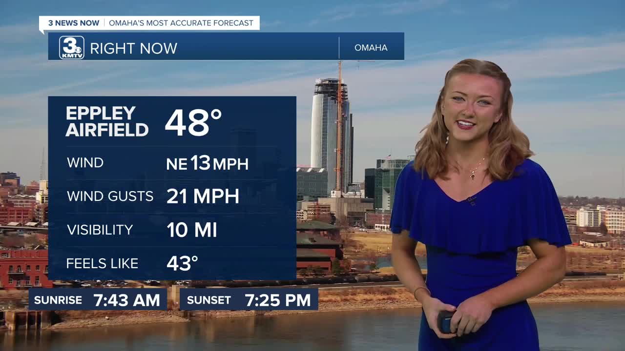
A storm system sweeps across Kansas and Missouri on Tuesday, bringing clouds and slightly cooler air compared to yesterday. However, today will be breezy with highs in the 60s.
Heading into Tuesday night, a few spotty rain and storms may clip parts of far southeast Nebraska and northwest Missouri. But a lot of us will be dry overnight
As colder air moves in Tuesday night, there could be a few spotty rain and snow showers north of Omaha, but the coverage of this appears limited due to drier air, and will clear out by Wednesday morning.
The sunshine comes back out by Wednesday afternoon and it will be windy out with highs in the 50s. It's a little warmer again Thursday, and still windy with highs in the low 60s. High wildfire conditions are possible due to the windy, dry air, so hold off on burning anything Wednesday and Thursday.
Friday will become mostly cloudy with highs in the 50s, followed by a few chances at rain over the weekend.
TUESDAY
Partly Cloudy
Spotty PM Rain
High: 65
Wind: NE 5-15
TUESDAY NIGHT
Mostly Clear
Spotty rain/mix
Low: 35
Wind: S 10-20
WEDNESDAY
Partly Cloudy
Breezy
High: 52
Wind: NW 25-30
Share your weather pictures with KMTV:
- Email to News@3newsnow.com
- 3 News Now Facebook page
- Use the hashtag #3NewsNow on Instagram or X (formerly Twitter)
