

3 THINGS TO KNOW
- Temps in the 70s/80s this week
- Storms Tuesday night, Wednesday
- Breezy at times Wednesday
FORECAST
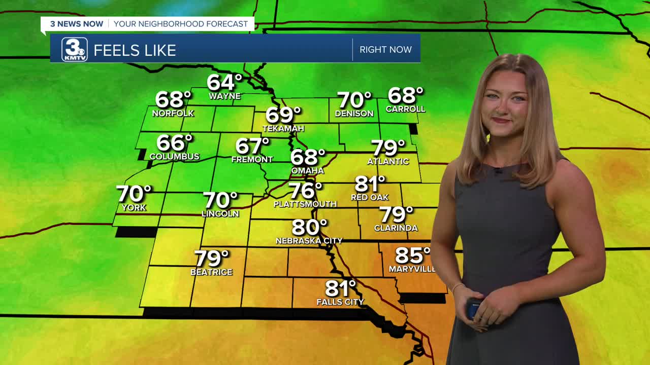
Tuesday looks warm again and mostly sunny with temps in the low to mid 80s. Later in the afternoon and evening, a few isolated rain showers and storms may pop-up. A few of these storms, if strong enough, could produce large hail. While anywhere could see a stronger storm, the best location will be in Iowa. Expect the window for severe storms to be between 8 PM and midnight tonight. This rain will stay scattered around the region through Tuesday night.
Some of these storms could linger into the next morning. We'll also see another round of storms by Wednesday afternoon. It will be windy on Wednesday with gusts up to 35 mph and highs in the upper 70s.
Thursday will be mostly sunny with calmer winds and highs in the mid 80s.
The final round of storms for the week are possible on Friday as a cold front sweeps through the region. This could also lead to a chance at severe weather. It will be windy! Temps will go from the 70s on Friday, down to the 30s Saturday morning, and only in the 50s by Saturday afternoon.
As winds settle Saturday night and skies remain clear, areas of patchy frost and freezing conditions are expected. Sunday morning will be around 29-32 degrees.
Sunday and next Monday will be dry, sunny and warmer with highs in the 60s and 70s.
TUESDAY
Partly Sunny
Isolated PM Storms
High: 84
Wind: E 10-25
TUESDAY NIGHT
Mild Temps
Spotty Storms
Low: 56
Wind: SW 5-15
WEDNESDAY
Partly Sunny
Isolated Storms
High: 78
Wind: SW 15-25
Share your weather pictures with KMTV:
- Email to News@3newsnow.com
- 3 News Now Facebook page
- Use the hashtag #3NewsNow on Instagram or X (formerly Twitter)
