



3 THINGS TO KNOW
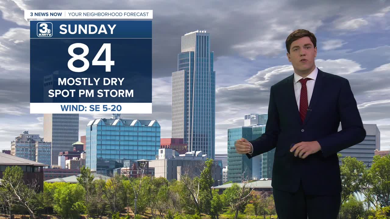
- Mostly dry on Sunday, but some PM storms are possible
- In the 80s for highs and 60s for lows
- Daily chances of rain/storms, but lots of dry time
FORECAST
Barring some lingering storms for Sunday morning, we are dry for most of the day. Storms are possible in the afternoon, but many of us will still be dry. With that being said, if a storm can form, it could be strong with some hail & gusty winds.
We are dry and warmer on Monday with highs into the upper 80s.
The rest of the week looks stable, with highs in the mid-80s and lows in the mid-60s. The humidity will also stick around too.
Storm chances slowly tick up beginning on Tuesday and Wednesday, though most will be dry.
More of us could see storms on Thursday and Friday. It's not a washout, but we will be on guard for some storms. Given the time of year, some of these storms could carry a severe risk.
SUNDAY
Partly Sunny
Isolated PM Storms
High: 84
Wind: SE 5-15
SATURDAY NIGHT
Partly Cloudy
Warm
Low: 63
Wind: SE 5-15
MONDAY
Mostly Sunny
Warm & Dry
High: 88
Wind: NW 5-10
TUESDAY
Mostly Cloudy
Isolated Storms
High: 84
Wind: NE 5-10
Share your weather pictures with KMTV:
- Email to News@3newsnow.com
- 3 News Now Facebook page
- Use the hashtag #3NewsNow on Instagram or X (formerly Twitter)
