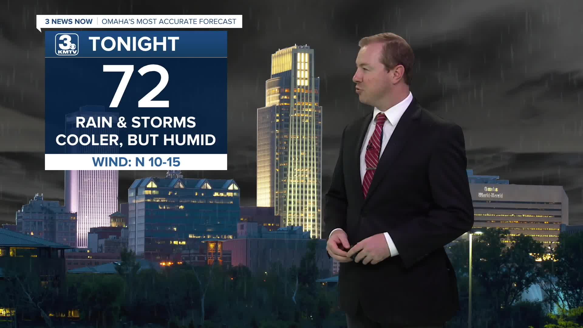


The rain and storms will continue to lighten up overnight, pushing south and east of Omaha before sunrise.
Thursday will start in the low 70s with a lot of clouds. There could still be a few spotty leftover showers around, but most of us will be dry in the morning. Thanks to cold front, it won't be as hot, but it still may be a little humid out. Highs will be in the mid 80s. A few hit and miss storms are possible heading Thursday afternoon and evening, mainly south of Omaha. Heavy rainfall may be possible in those storms closest to Missouri and Kansas.
Rain will move out Thursday night, and our clouds will thin out a little, too. We'll start out Friday in the upper 60s to near 70.
Thanks to more clouds than sunshine, and a chance at rain, highs on Friday will only reach the mid 80s. The better chances for rain will again be south of Omaha, in the afternoon and evening. Rain will exit the region Friday night.
We start to heat back up again this weekend. Saturday will be in the low 90s with a lot of sunshine. Then, we push into the mid 90s on Sunday with mostly sunny skies.
The mid 90s continue Monday, but a weak cold front will try to drop us into the low 90s Tuesday with a small chance for rain.
THURSDAY
Clearing Skies
Spotty Storms
High: 84
THURSDAY NIGHT
Mostly Cloudy
Spotty Showers
Low: 70
FRIDAY
Partly Cloudy
Spotty Storms
High: 84
SATURDAY
Mostly Sunny
Warming Up
High: 91
Share your weather pictures with KMTV:
- Email to News@3newsnow.com
- 3 News Now Facebook page
- Use the hashtag #3NewsNow on Instagram or X (formerly Twitter)
