



3 Things to Know
- Hot, humid, and dry for Sunday
- Staying hot next week before cooler air arrives
- Storm chances increase midweek
Forecast
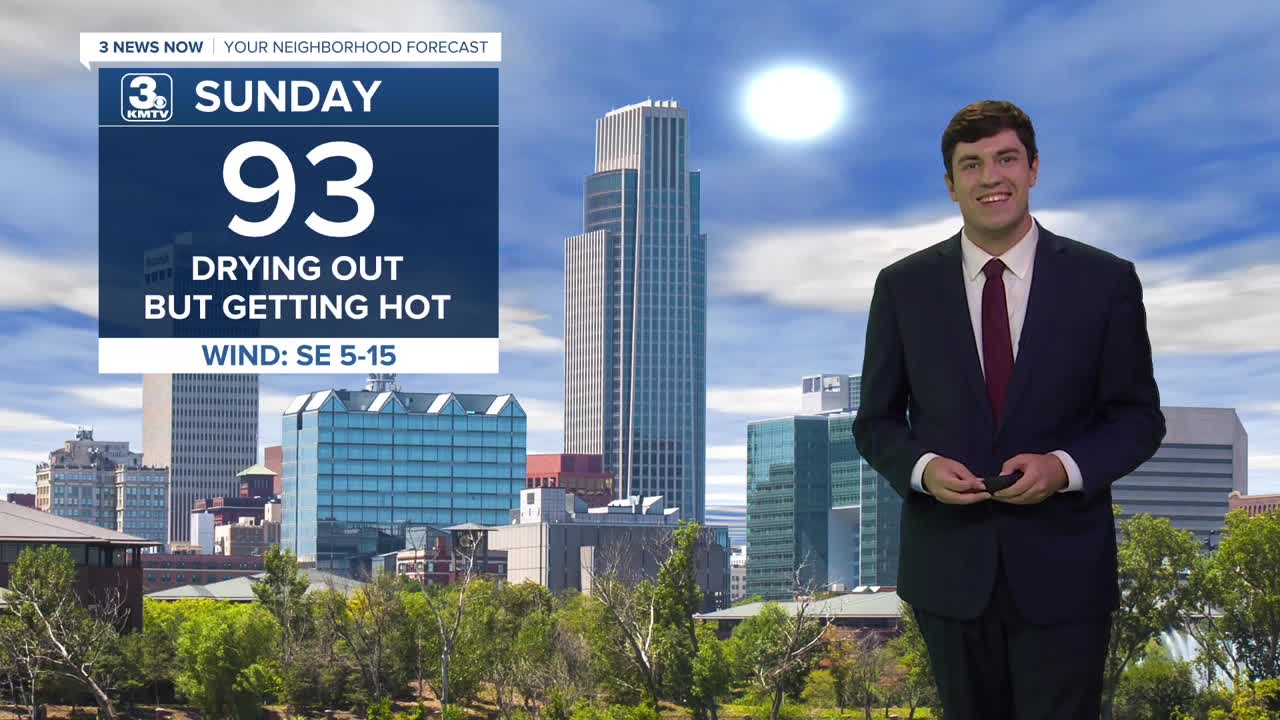
For Sunday, we look dry, but the heat is turned up. Highs will reach the low 90s with a heat index around 100. So take precautions if you plan to be outdoors.
Monday is similar to Sunday. Highs on Monday reach the low 90s with a heat index around 100.
Tuesday, we introduce small chances of rain after dark, but during the day it's another hot one with low 90s and a heat index of 100.
Wednesday also comes with a small chance of rain, but we are a touch cooler with highs in the mid-80s.
By Thursday, our next storm system arrives with a decent shot at rain & storms. Exact timing, location, and strength of the storms are to be determined. The storms will help cool us into the 70s for highs.
Rain chances may linger into Friday & the weekend, but they lower each day. Temperatures remain cool, however, in the mid-70s.
SUNDAY
Partly Sunny
Hot & Humid
High: 93
Wind: SE 5-15
SUNDAY NIGHT
Mostly Clear
Warm
Low: 74
Wind: NE 5-15
MONDAY
Partly Sunny
Hot & Humid
High: 92
Wind: E 5-10
TUESDAY
Partly Sunny
Small Storm Chance
High: 92
Wind: S 5-10
Share your weather pictures with KMTV:
- Email to News@3newsnow.com
- 3 News Now Facebook page
- Use the hashtag #3NewsNow on Instagram or X (formerly Twitter)
