

3 THINGS TO KNOW
- Warm weather Tuesday & Wednesday
- Windy and Stormy Thursday
- Looking chilly this weekend
FORECAST
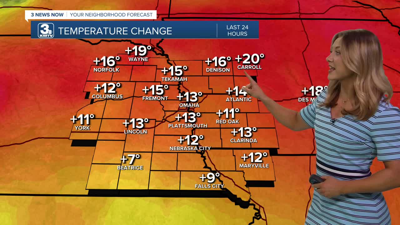
Expect to climb temps all the way up to the upper 80s with plenty of sunshine this afternoon, with some feels like temps reaching the lower 90s! The wind should be a little less gusty, too. There is a very small chance at an isolated thunderstorm south of I-80 Tuesday evening.
Wednesday's wind does pick up a little, but it stays warm with highs in the mid 80s.
Our next cold front arrives on Thursday, bringing a chance of storms and gusty winds. Some of these storms could be stronger by evening, with strong winds and large hail possible. We may also get some heavy rain Thursday night.
Estimated rain amounts around 0.25 to 0.50", with up to 1.00" possible by Friday morning.
The cold front knocks back our temperatures for Friday and the weekend, into the 50s. While Friday looks sunny and dry, there are chances for rain this weekend, especially on Sunday.
TUESDAY
Sunny
Very Warm
High: 87
Wind: SW 5-15
TUESDAY NIGHT
Mostly Clear
Mild
Low: 57
Wind: SW 15-20
WEDNESDAY
Partly Cloudy
Windy
High: 85
Wind: S 25-35
Share your weather pictures with KMTV:
- Email to News@3newsnow.com
- 3 News Now Facebook page
- Use the hashtag #3NewsNow on Instagram or X (formerly Twitter)
