

3 Things to Know
- Dry for Thursday, Friday afternoon
- A nice cool-down on the way
- Next round of strong storms on Saturday afternoon
Forecast
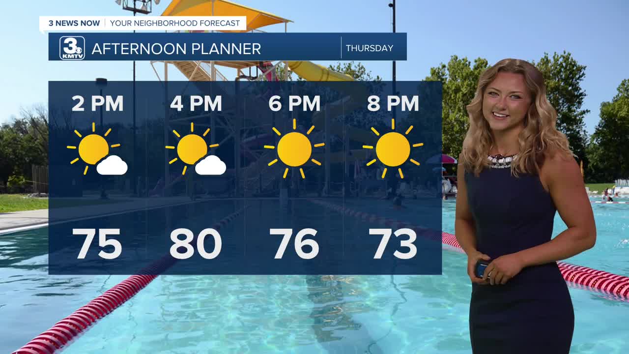
After the round of severe storms we saw this morning, flash flooding remains an issue in some areas. However, those storms followed a cold front, and our temperatures by this afternoon will only peak around the upper 70s! We'll see sunshine as clouds begin to clear, even overnight tonight. That means low temperatures will bottom out around the upper 50s!
Friday is looking like a great day for the start of the Men's College World Series! It will be a mostly sunny day with highs in the mid 80s. If you are getting the chance to spend some time outdoors, make sure to bring the sunscreen! That UV level will peak at 10 around the afternoon hours.
Rain is back in the forecast though as early as Saturday, and severe storms may be possible later in the day, after about 1 PM. So far southeast Nebraska and northwestern portions of Missouri look to be the areas of main concern.
We'll keep the rain chances around for Sunday and Monday, too. The aforementioned storms on Saturday might help to bump our temps down into the 70s for the start of next week, but only for a couple of days.
THURSDAY
AM Storms/PM Sun
Heavy Morning Storms
High: 78
Wind: NW 15-25
THURSDAY NIGHT
Cooler
Clear
Low: 57
Wind: SE 10-15
FRIDAY
Mostly Sunny
Very nice
High: 86
Wind: S 5-10
Share your weather pictures with KMTV:
- Email to News@3newsnow.com
- 3 News Now Facebook page
- Use the hashtag #3NewsNow on Instagram or X (formerly Twitter)
