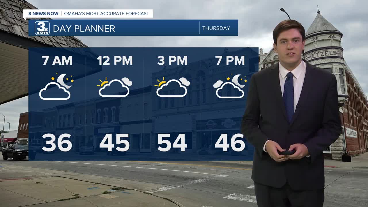


Sunshine returns to the area on Thursday, but it won't last long as our next storm system nears. Highs on Thursday are expected to be in the mid-50s.
We get a glancing blow from the low-pressure system, sending rain into neighborhoods south of I-80. A few showers may get as far north as Omaha, but the city should remain dry for the most part. Highs will be in the low 50s.
We'll get warm this weekend with lots of sunshine! Highs reach the upper 50s on Saturday and the low 60s on Sunday.
Another storm system may bring some rain to some of us Monday into Tuesday, but there are still some details to be worked out.
Heading into the holiday week, there are signs of a bigger cool-down around Thanksgiving. How cold we get, and when exactly the colder air arrives, is too early to say. But if you have plans next week, pay attention to the forecast.
WEDNESDAY NIGHT
Partly Cloudy
Patchy AM Fog
Low: 36
Wind: NW 0-5
THURSDAY
Partly Cloudy
Warmer
High: 54
Wind: NW 5-10
FRIDAY
Mostly Cloudy
Scattered Rain South
High: 49
Wind: NE 5-10
SATURDAY
Partly Cloudy
Warmer
High: 59
Wind: S 5-10
Share your weather pictures with KMTV:
- Email to News@3newsnow.com
- 3 News Now Facebook page
- Use the hashtag #3NewsNow on Instagram or X (formerly Twitter)
