



3 Things to Know
- Not as hot or humid this week
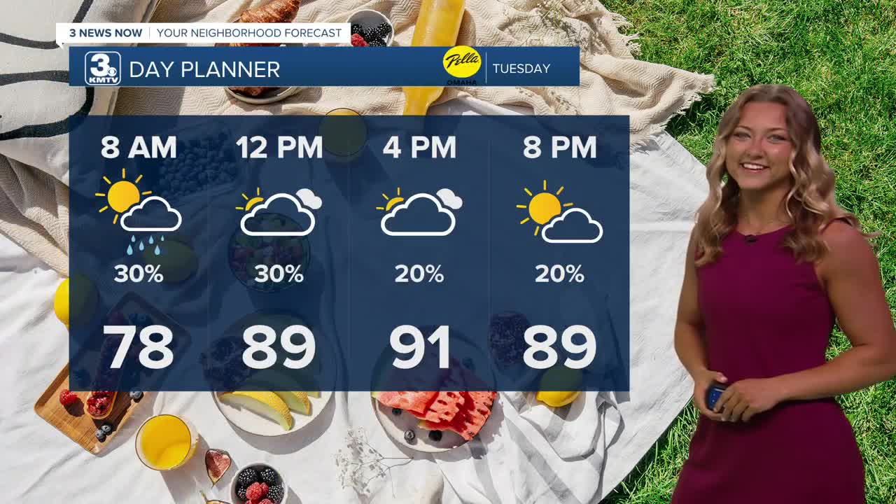
- Rain chance for Tuesday morning
- More rain later in the week
Forecast
We're waking up this morning to a bit of rainfall south of I-80. These storms look to be lingering off farther to our southwest as our Tuesday morning goes on, leaving us drier by this afternoon.
It won't be nearly as hot out on Tuesday, but it's still very warm as temperatures reach into the low 90s, feeling more like 95-100.
Some sunshine returns Wednesday and it's slightly warmer out with highs in the low to mid 90s, and a heat index again around 95-100.
Heading into Wednesday night, our next big round of rain begins to move in. Expect occasional rain showers throughout the day Thursday with highs only in the upper 80s. Another round of rain will move in later Thursday night and continues into Friday. Some of this rain may be heavy at times.
In total, we could see amounts of 0.50" to 1.50" commonly around the region from the Thursday/Friday rain.
Once the weekend rolls in, we're back to sunny skies and seasonally warm weather with highs in the upper 80s Saturday, and near 90 on Sunday.
TUESDAY
Mostly Sunny
Spotty AM Storms
High: 91
Wind: NE 10-15
TUESDAY NIGHT
Mostly Clear
Still warm
Low: 73
Wind: NE 5-15
WEDNESDAY
Mostly Sunny
Warm
High: 93
Wind: E 5-10
Share your weather pictures with KMTV:
- Email to News@3newsnow.com
- 3 News Now Facebook page
- Use the hashtag #3NewsNow on Instagram or X (formerly Twitter)
