



3 Things to Know
- Pleasant and summery Tuesday
- Temps continue to drop!
- Increasing chance of rain on Thursday
Forecast
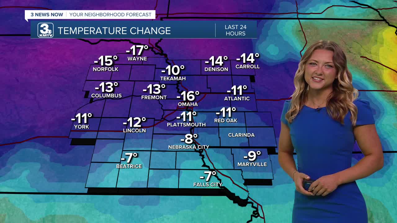
As we head into our Tuesday afternoon, expect plenty of sunshine! Our temps have improved greatly compared to yesterday, most areas are 15+ degrees cooler into the early afternoon hours!
Of course we had that cold front last night, but some of those breezes you'll feel today are coming from the North. This is helping to usher in some cooler and drier air not just today, but over the next few days. This will make for a comfortable night in the low 60s Tuesday night!
Clouds will start to move back into the region Wednesday, and some areas may see some showers near the early afternoon hours. We'll expect to see a high only around the lower 80s for our Wednesday.
More widespread rain is expected to move into the area as early as Thursday morning. This rainfall could last all the way into Friday morning, helping to alleviate the incredibly dry week we previously had. Temps will only make it into the upper 70s to low 80s thanks to the clouds and rain chances on Thursday. Higher rainfall amounts are located south of Omaha, closer to Lincoln and Beatrice. In the metro, expect only around .5" of rain.
By the time the weekend rolls in, it start to get hot again...Saturday will be mostly sunny with highs near 90, followed by more heat on Sunday with highs in the mid 90s. We could see some spotty rain on Sunday. That short burst of heat should exit after next Monday or Tuesday.
TUESDAY
Mostly Sunny
Breezy
High: 87
Wind: N 15-25
TUESDAY NIGHT
Partly Cloudy
Much Cooler!
Low: 64
Wind: N 10-20
WEDNESDAY
Mostly Cloudy
Spotty Late-Day Rain
High: 80
Wind: NE 5-10
Share your weather pictures with KMTV:
- Email to News@3newsnow.com
- 3 News Now Facebook page
- Use the hashtag #3NewsNow on Instagram or X (formerly Twitter)
